Greater Downtown Miami, Miami
Map
Gallery
Facts and practical information
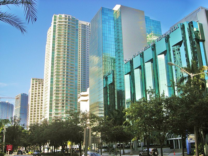
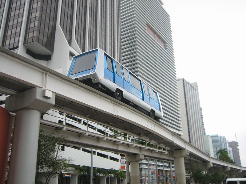
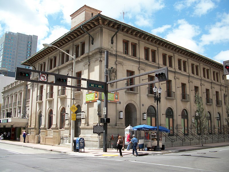
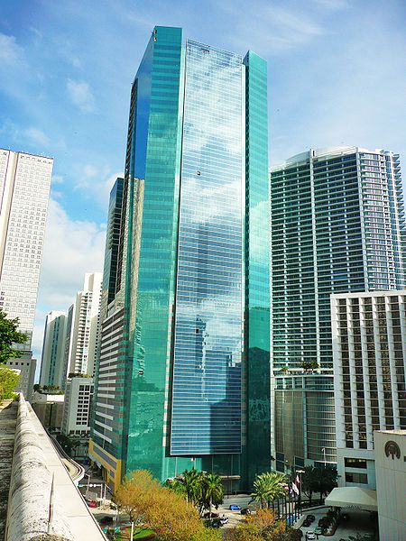
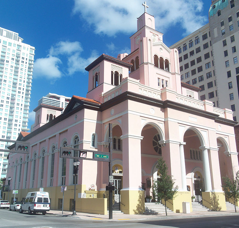
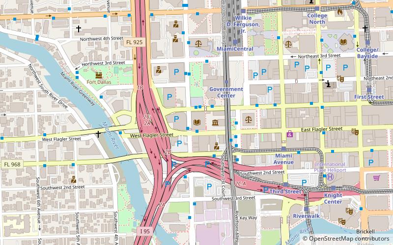
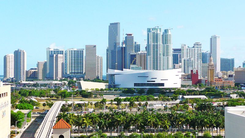
Downtown Miami is an urban city center, based around the Central Business District of Miami, Florida, United States. In addition to the central business district, the area also consists of the Brickell Financial District, Historic District, Government Center, Arts & Entertainment District and Park West. The neighborhood is divided by the Miami River and is bordered by Midtown to the north, Biscayne Bay to the east, Civic Center and Overtown to the west, and Coconut Grove to the south. ()
Day trips
Greater Downtown Miami – popular in the area (distance from the attraction)
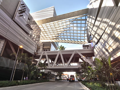
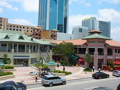
Nearby attractions include: Olympia Theater, Brickell City Centre, Mary Brickell Village, Brickell Flatiron.
Frequently Asked Questions (FAQ)
Which popular attractions are close to Greater Downtown Miami?
Nearby attractions include Latitude on the River, Miami (6 min walk), The Miami Line, Miami (8 min walk), Solitair Brickell, Miami (9 min walk), Riverfront, Miami (10 min walk).
How to get to Greater Downtown Miami by public transport?
The nearest stations to Greater Downtown Miami:
Bus
Metro
Train
Bus
- Southwest 7th Street & Southwest 4th Avenue • Lines: 207, 8, 8A (2 min walk)
- Southwest 8th Street & Southwest 2nd Avenue • Lines: 208, 8, 8A (4 min walk)
Metro
- Brickell • Lines: Green, Orange (9 min walk)
- Government Center • Lines: Green, Orange (18 min walk)
Train
- Brickell (11 min walk)
- Eighth Street (13 min walk)


