Hell Gate Bridge, New York City
Map

Gallery

Facts and practical information
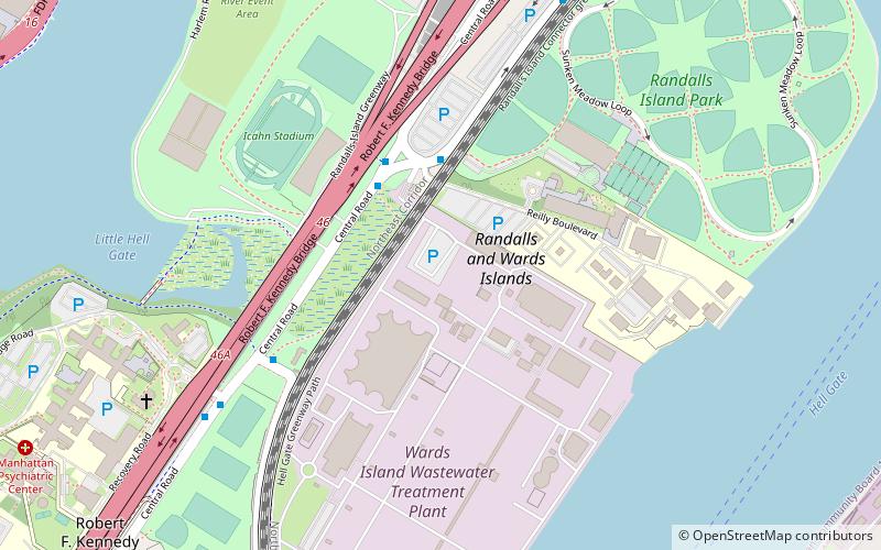
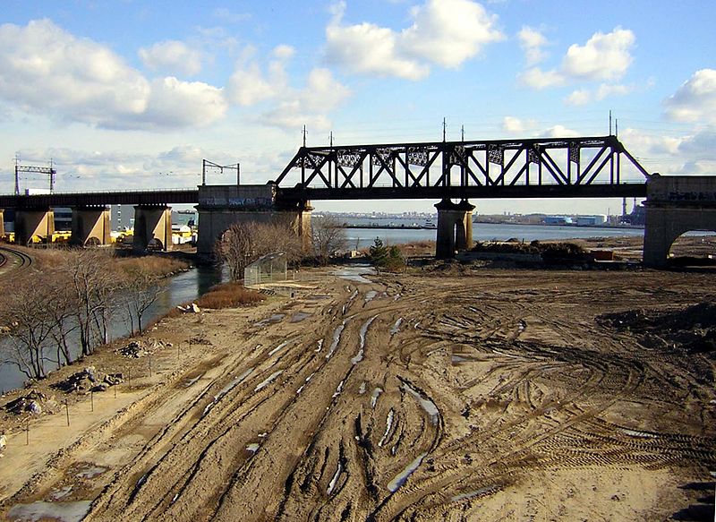
The Hell Gate Bridge, originally the New York Connecting Railroad Bridge or the East River Arch Bridge, is a 1,017-foot steel through arch railroad bridge in New York City. Originally built for four tracks, the bridge currently carries two tracks of Amtrak's Northeast Corridor and one freight track across the Hell Gate, a strait of the East River, between Astoria in Queens and Randalls and Wards Islands in Manhattan. ()
Alternative names: Opened: 1917 (109 years ago)Length: 3.22 miWidth: 100 ftCoordinates: 40°47'28"N, 73°55'20"W
Address
Randalls-Wards IslandNew York City
ContactAdd
Social media
Add
Day trips
Hell Gate Bridge – popular in the area (distance from the attraction)
Nearby attractions include: Gracie Mansion, Downing Stadium, Municipal Asphalt Plant, Marcus Garvey Park.
Frequently Asked Questions (FAQ)
Which popular attractions are close to Hell Gate Bridge?
Nearby attractions include Pleasant Avenue, New York City (16 min walk), Robert F. Kennedy Bridge, New York City (17 min walk), Wards Island Bridge, New York City (23 min walk), Astoria Park, New York City (23 min walk).
How to get to Hell Gate Bridge by public transport?
The nearest stations to Hell Gate Bridge:
Bus
Metro
Train
Bus
- Main Rdy / Opp Icahn Stadium • Lines: M35 (3 min walk)
- Central Road @ Manh Psyc Ctr • Lines: M35 (8 min walk)
Metro
- Cypress Avenue • Lines: 6 (28 min walk)
- 116th Street • Lines: <6>, 4, 6 (29 min walk)
Train
- Harlem–125th Street (34 min walk)

 Subway
 Manhattan Buses


