Baldwin Lake, Los Angeles
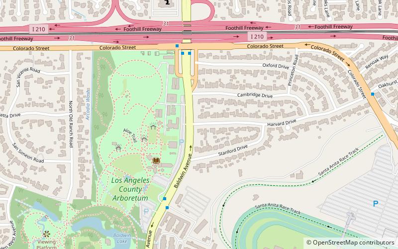
Map
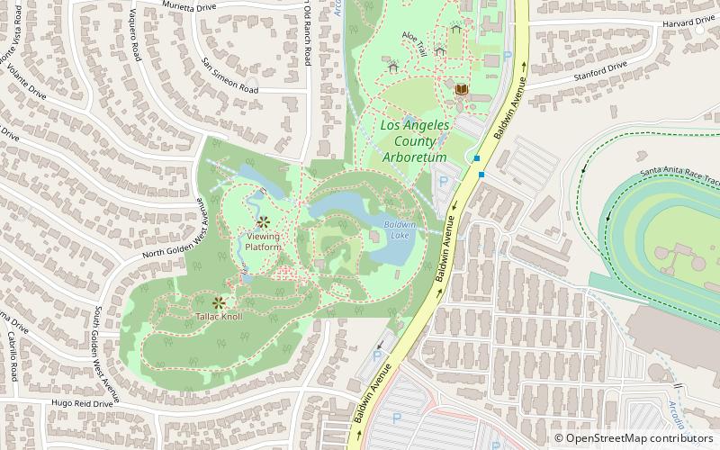
Map

Facts and practical information
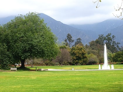
Baldwin Lake is a sag pond in the Los Angeles County Arboretum and Botanic Garden, which is in the San Gabriel Valley of Southern California, south of the San Gabriel Mountains. The pond, arboretum, and botanic garden are all within the city of Arcadia. ()
Elevation: 512 ft a.s.l.Coordinates: 34°8'30"N, 118°3'14"W
Address
ArcadiaLos Angeles
ContactAdd
Social media
Add
Day trips
Baldwin Lake – popular in the area (distance from the attraction)
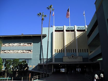
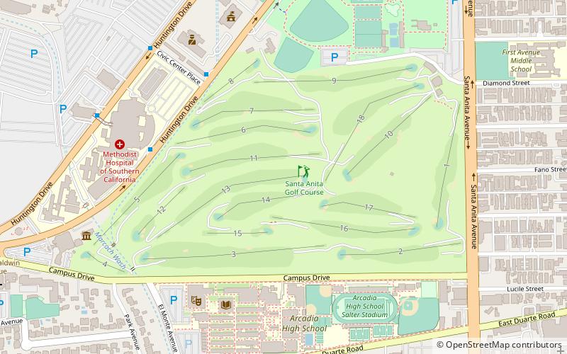
Nearby attractions include: Westfield Santa Anita, Santa Anita Park, Santa Anita Golf Course, Los Angeles County Arboretum and Botanic Garden.
Frequently Asked Questions (FAQ)
Which popular attractions are close to Baldwin Lake?
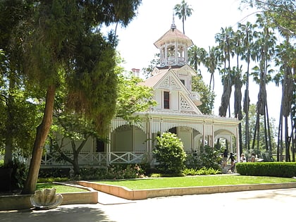
Nearby attractions include Los Angeles County Arboretum and Botanic Garden, Los Angeles (3 min walk), Queen Anne Cottage and Coach Barn, Los Angeles (4 min walk), Alyeupkigna, Sierra Madre (10 min walk), Santa Anita Park, Los Angeles (15 min walk).
How to get to Baldwin Lake by public transport?
The nearest stations to Baldwin Lake:
Bus
Bus
- Metro 266;Foothill Transit 187 • Lines: 187 (30 min walk)
 Metro & Regional Rail
