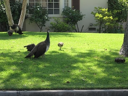
Santa Anita Golf Course, Los Angeles
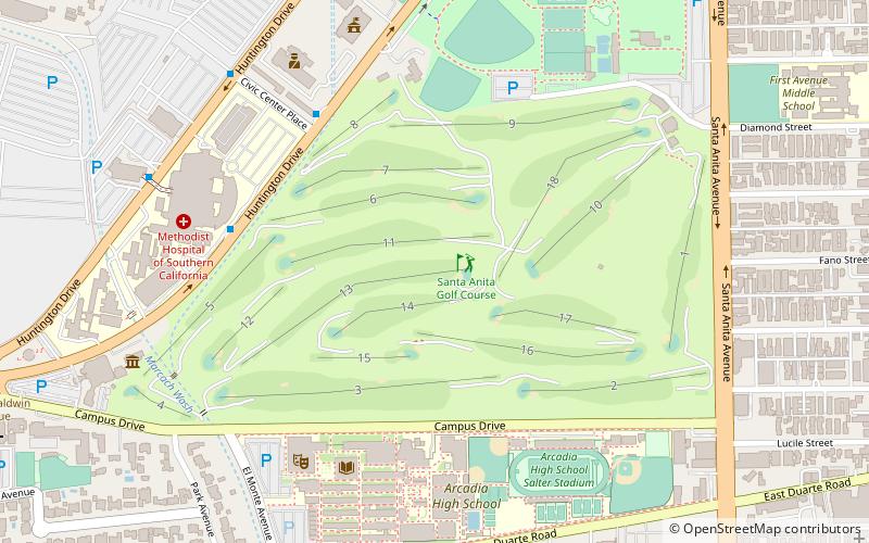
Map
Facts and practical information
The Santa Anita Golf Course, located in the city of Arcadia, California, was operated by Santa Anita Associates for the Los Angeles County Department of Parks and Recreation from 1986-2016. New operators will take over beginning September 2016. ()
Coordinates: 34°7'60"N, 118°2'13"W
Day trips
Santa Anita Golf Course – popular in the area (distance from the attraction)
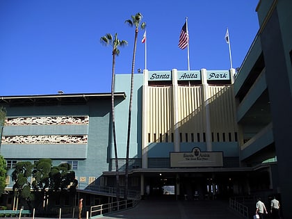
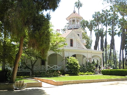
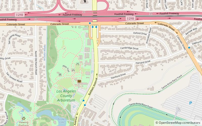
Nearby attractions include: Westfield Santa Anita, Santa Anita Park, Los Angeles County Arboretum and Botanic Garden, Baldwin Lake.
Frequently Asked Questions (FAQ)
Which popular attractions are close to Santa Anita Golf Course?
Nearby attractions include Arcadia, Los Angeles (8 min walk), Santa Anita Park, Los Angeles (17 min walk).
How to get to Santa Anita Golf Course by public transport?
The nearest stations to Santa Anita Golf Course:
Light rail
Light rail
- Arcadia • Lines: L (21 min walk)
 Metro & Regional Rail
