First United Methodist Church, Nebraska City
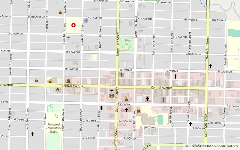
Map
Facts and practical information
The First United Methodist Church of Nebraska City, Nebraska was organized in 1854. Previously, Reverend W. D. Gage had Methodist services in the area. The church's main hall is named after Rev. Gage. The land was bought in 1855 and the one-room church was built the same year. Since then, several expansions have made the church larger with several conference rooms, Gage Hall, and the main sanctuary. The building is currently the oldest Methodist church in the state of Nebraska. ()
Coordinates: 40°40'38"N, 95°51'31"W
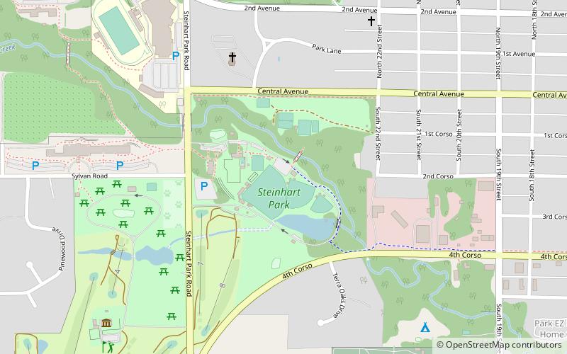
Day trips
First United Methodist Church – popular in the area (distance from the attraction)
Nearby attractions include: Arbor Lodge State Historical Park and Arboretum, Mayhew Cabin, Kregel Windmill Museum, Steinhart Park.


Frequently Asked Questions (FAQ)
Which popular attractions are close to First United Methodist Church?
Nearby attractions include Otoe County Courthouse, Nebraska City (2 min walk), Grand Army of the Republic Memorial Hall, Nebraska City (4 min walk), Civil War Veterans Museum - GAR Hall, Nebraska City (4 min walk), Morton-James Public Library, Nebraska City (4 min walk).