Trek Zone

St. Mary's Catholic Church, Nebraska City
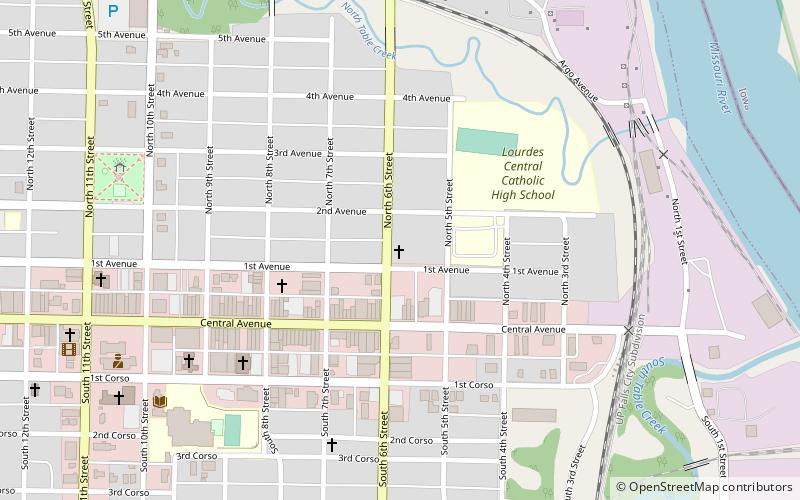
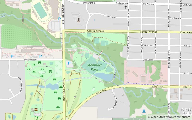
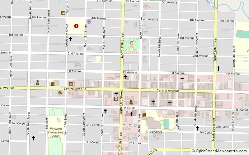
#14 among attractions in Nebraska City

Church
St. Mary's Catholic Church location map
Map

Facts and practical information

Coordinates: 40°40'40"N, 95°51'8"W
Address

Nebraska City United States

ContactAdd
Social media
Add
Day trips

St. Mary's Catholic Church – popular in the area (distance from the attraction)

Nearby attractions include: Mayhew Cabin, Missouri River Basin Lewis & Clark Visitor Center, Kregel Windmill Museum, Steinhart Park.

  • mayhew cabin nebraska city1 miW
  • missouri river basin lewis clark visitor center nebraska city1.4 miSE
  • kregel windmill museum nebraska city0.6 miW
  • steinhart park nebraska city location map
    1.2 miW
  • nebraska city museum of firefighting0.5 miW
  • grand army of the republic memorial hall nebraska city~1460 ftSW
  • st benedicts catholic church nebraska city0.8 miSE
  • first united methodist church nebraska city location map
    ~1810 ftW
  • otoe county courthouse nebraska city~1810 ftW
  • civil war veterans museum gar hall nebraska city~1460 ftSW
  • nebraska city bridge1.2 miE

Frequently Asked Questions (FAQ)

Which popular attractions are close to St. Mary's Catholic Church?

Nearby attractions include Grand Army of the Republic Memorial Hall, Nebraska City (8 min walk), Civil War Veterans Museum - GAR Hall, Nebraska City (8 min walk), Morton-James Public Library, Nebraska City (9 min walk), Otoe County Courthouse, Nebraska City (9 min walk).

Where to next? Visit nebraska Nebraska region page or discover the top tourist attractions in United States.