Papago Freeway Tunnel, Phoenix
Map

Map

Facts and practical information
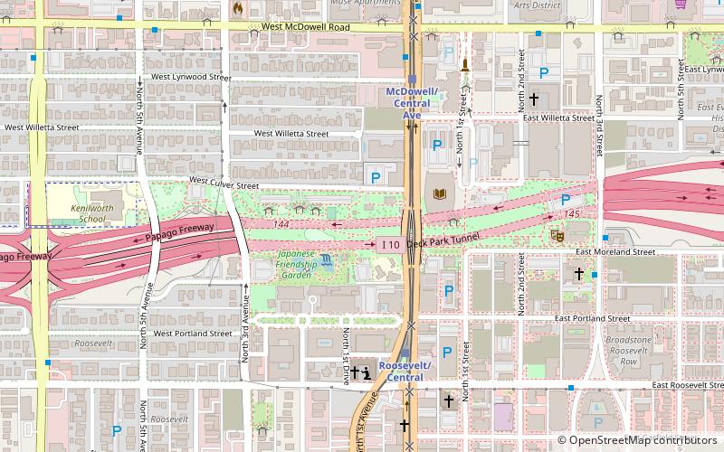
The Papago Freeway Tunnel, better known to Phoenix residents as the Deck Park Tunnel, is a vehicular underpass built underneath Downtown Phoenix. It was built as part of Interstate Highway 10 in Phoenix, Arizona. ()
Coordinates: 33°27'42"N, 112°4'30"W
Address
1202 N 3rd StCentral City (Downtown Phoenix)Phoenix
ContactAdd
Social media
Add
Day trips
Papago Freeway Tunnel – popular in the area (distance from the attraction)
Nearby attractions include: Arizona Federal Theatre, Heard Museum, Phoenix Art Museum, Orpheum Theatre.
Frequently Asked Questions (FAQ)
Which popular attractions are close to Papago Freeway Tunnel?
Nearby attractions include Margaret T. Hance Park, Phoenix (1 min walk), Phoenix Trolley Museum, Phoenix (2 min walk), McClelland Irish Library, Phoenix (2 min walk), Japanese Friendship Garden of Phoenix, Phoenix (3 min walk).
How to get to Papago Freeway Tunnel by public transport?
The nearest stations to Papago Freeway Tunnel:
Bus
Bus
- 17200 • Lines: Dash Wb (17 min walk)
- Dash • Lines: Dash Wb (17 min walk)


