Thorny Flat, Snowshoe

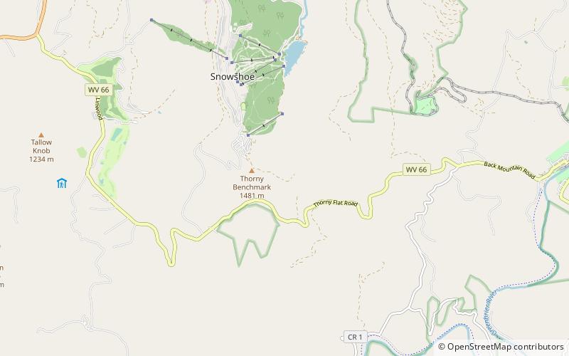
Map
Facts and practical information
Thorny Flat is the second highest peak in the U.S. state of West Virginia, after Spruce Knob. Thorny Flat is the high point of the ridge known as Cheat Mountain. ()
Elevation: 4848 ftProminence: 1688 ftCoordinates: 38°23'37"N, 79°59'2"W
Address
Snowshoe
ContactAdd
Social media
Add
Day trips
Thorny Flat – popular in the area (distance from the attraction)
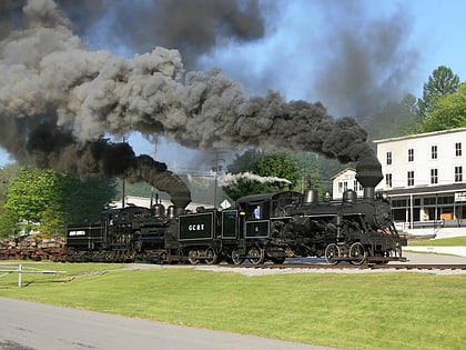
Nearby attractions include: Cass Scenic Railroad State Park, Bald Knob, Seneca State Forest, Shavers Fork Mountain Complex.


