Shavers Fork Mountain Complex, Snowshoe
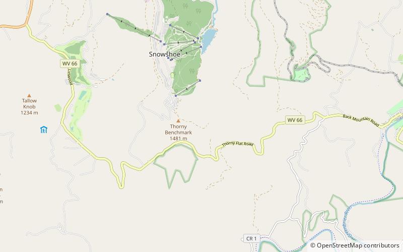
Map

Map

Facts and practical information
Shavers Fork Mountain Complex is the name given to the mountains on either side of Shavers Fork in the highlands portions of Randolph County, Pocahontas County, and Tucker County in West Virginia, USA. Much of the land surrounding the river and its adjacent mountains is protected by Monongahela National Forest including about 20,000 acres of designated wilderness. ()
Maximum elevation: 720 ftCoordinates: 38°23'37"N, 79°59'2"W
Address
Snowshoe
ContactAdd
Social media
Add
Day trips
Shavers Fork Mountain Complex – popular in the area (distance from the attraction)
Nearby attractions include: Cass Scenic Railroad State Park, Bald Knob, Seneca State Forest, Thorny Flat.


