Sacagawea Glacier, Fitzpatrick Wilderness
Map

Map

Facts and practical information
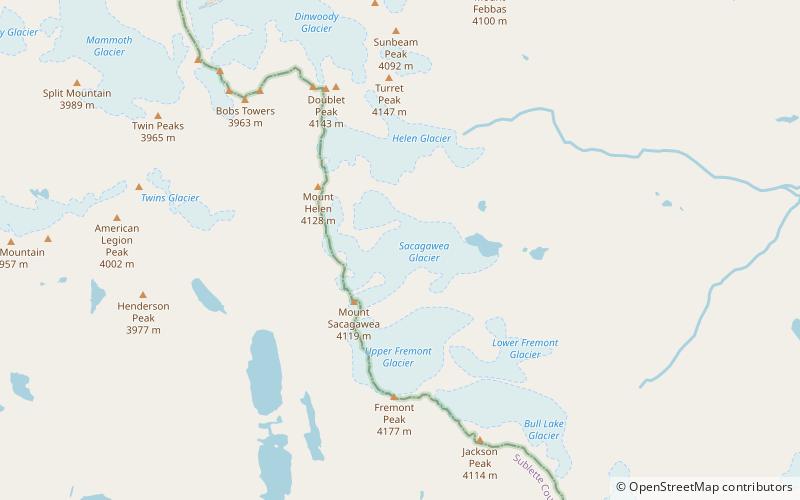
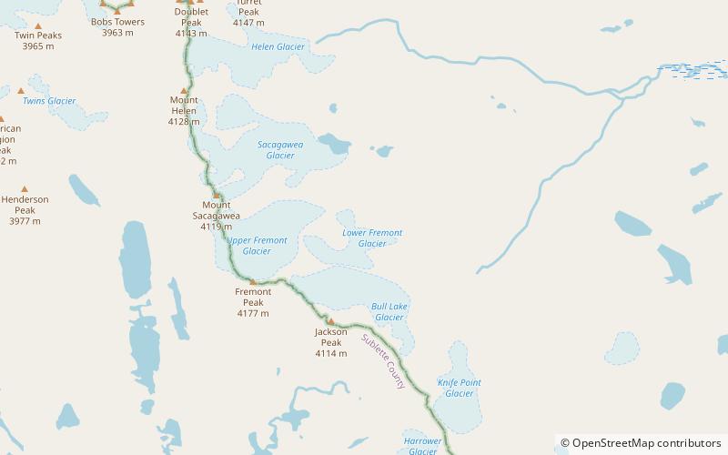
Sacagawea Glacier is east of the Continental Divide in the northern Wind River Range in the U.S. state of Wyoming. The glacier is located in the Fitzpatrick Wilderness of Shoshone National Forest, and is among the largest grouping of glaciers in the American Rocky Mountains. Sacagawea Glacier flows to the east, from a northeast facing cirque, starting near the summit of Mount Sacagawea. A large moraine and small proglacial lake are situated beyond the terminal east end of the glacier. ()
Length: 6600 ftCoordinates: 43°8'35"N, 109°37'1"W
Address
Fitzpatrick Wilderness
ContactAdd
Social media
Add
Day trips
Sacagawea Glacier – popular in the area (distance from the attraction)
Nearby attractions include: Mount Sacagawea, Mount Helen, Upper Fremont Glacier, Helen Glacier.
Frequently Asked Questions (FAQ)
Which popular attractions are close to Sacagawea Glacier?
Nearby attractions include Mount Sacagawea, Fitzpatrick Wilderness (16 min walk), Upper Fremont Glacier, Fitzpatrick Wilderness (23 min walk), Mount Helen, Bridger Wilderness (23 min walk), Helen Glacier, Fitzpatrick Wilderness (24 min walk).


