Mount Sacagawea, Fitzpatrick Wilderness
Map

Map

Facts and practical information
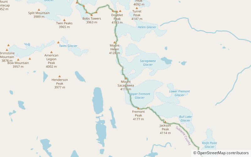
Mount Sacagawea is the eighth-highest peak in the U.S. state of Wyoming and the seventh-highest in the Wind River Range. It was named after Sacagawea, the young Lemhi Shoshone woman who accompanied the Lewis and Clark Expedition as an interpreter and guide. The Upper Fremont Glacier is located southeast and the Sacagawea Glacier is northeast of the mountain. Straddling the Continental Divide, Mount Sacagawea is one mile northwest of Fremont Peak. ()
First ascent: 1926Elevation: 13575 ftProminence: 409 ftCoordinates: 43°8'12"N, 109°37'30"W
Address
Fitzpatrick Wilderness
ContactAdd
Social media
Add
Day trips
Mount Sacagawea – popular in the area (distance from the attraction)
Nearby attractions include: Fremont Peak, Mount Helen, Upper Fremont Glacier, Sacagawea Glacier.
Frequently Asked Questions (FAQ)
Which popular attractions are close to Mount Sacagawea?
Nearby attractions include Sacagawea Glacier, Fitzpatrick Wilderness (16 min walk), Upper Fremont Glacier, Fitzpatrick Wilderness (16 min walk), Fremont Peak, Fitzpatrick Wilderness (23 min walk).


