Fort Sullivan, Eastport
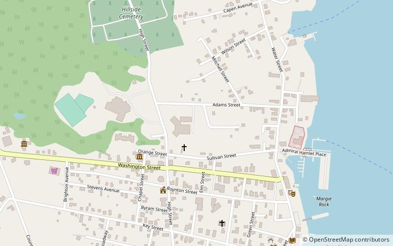
Map

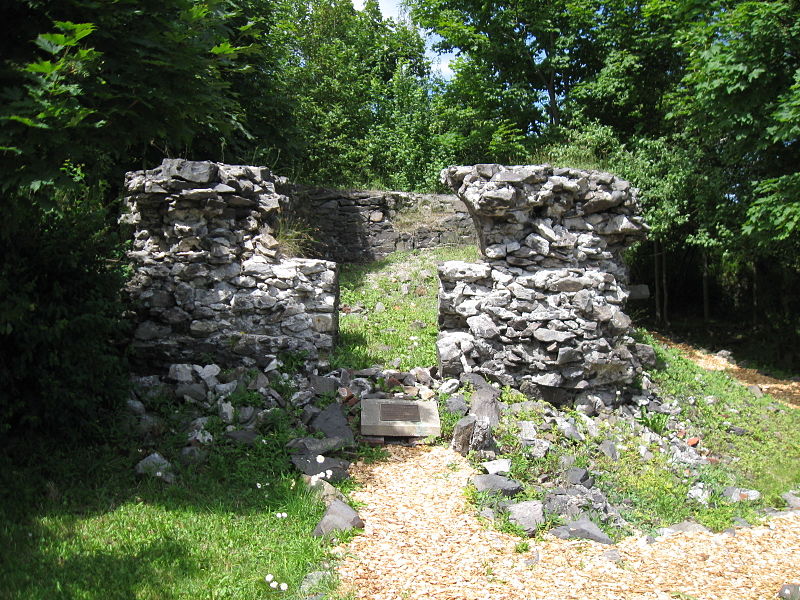
Gallery

Facts and practical information
Fort Sullivan was a 19th-century military fortification in Eastport, Maine. It lay opposite New Brunswick, Canada, and served as an important coastal defense for the easternmost United States of America during the 19th century. As part of the establishment of New Ireland during the War of 1812, British Commodore Sir Thomas Hardy, 1st Baronet conquered the fort in 1814 and renamed it Fort Sherbrooke after John Coape Sherbrooke, the Governor of Nova Scotia. ()
Built: 1808 (218 years ago)Coordinates: 44°54'27"N, 66°59'19"W
Address
Eastport
ContactAdd
Social media
Add
Day trips
Fort Sullivan – popular in the area (distance from the attraction)
Nearby attractions include: Boynton Street Historic District, Central Congregational Church, Tides Institute & Museum of Art, Eastport City Hall.
Frequently Asked Questions (FAQ)
Which popular attractions are close to Fort Sullivan?
Nearby attractions include Eastport City Hall, Eastport (5 min walk), Eastport Historic District, Eastport (6 min walk), Central Congregational Church, Eastport (6 min walk), Boynton Street Historic District, Eastport (6 min walk).


