Eastport Historic District, Eastport
Map

Map

Facts and practical information
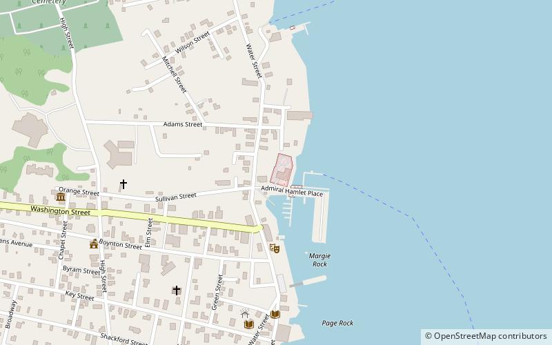
The Eastport Historic District encompasses the late 19th-century commercial center of the city of Eastport, Maine. Set on a five-block stretch of Water Street, this area was almost completely redeveloped after a major fire in 1886, and many of its buildings are the work of a single architect, Henry Black. The district was listed on the National Register of Historic Places in 1982, and enlarged slightly in 2016. ()
Built: 1887 (139 years ago)Area: 8.85 acres (0.0138 mi²)Elevation: 0 ft a.s.l.Coordinates: 44°54'25"N, 66°59'4"W
Address
Eastport
ContactAdd
Social media
Add
Day trips
Eastport Historic District – popular in the area (distance from the attraction)
Nearby attractions include: Boynton Street Historic District, Central Congregational Church, Tides Institute & Museum of Art, Eastport City Hall.
Frequently Asked Questions (FAQ)
Which popular attractions are close to Eastport Historic District?
Nearby attractions include Boynton Street Historic District, Eastport (3 min walk), Tides Institute & Museum of Art, Eastport (5 min walk), Fort Sullivan, Eastport (6 min walk), Central Congregational Church, Eastport (6 min walk).


