William Forst House, Russellville
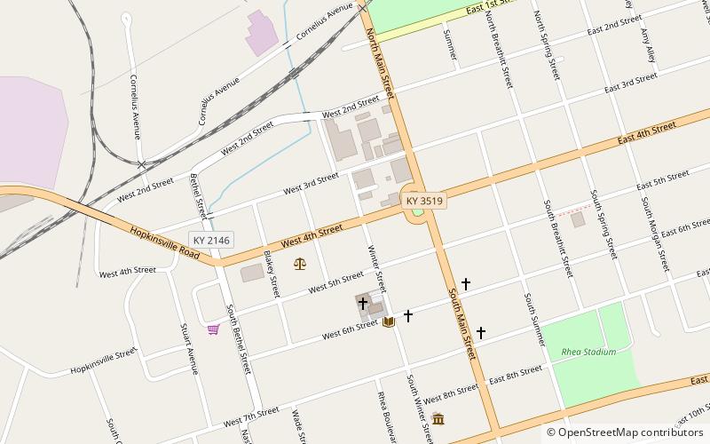
Map

Map

Facts and practical information
The William Forst House, also known as the Clark House and the First-Clark House, is a historic house located in the Russellville Historic District of Russellville, Kentucky. Built in 1820, it made history between November 18 and 20, 1861, as the site where the Confederate government of Kentucky was formed. It has been listed on the National Register of Historic Places since July 19, 1973. ()
Built: 1820 (206 years ago)Coordinates: 36°50'42"N, 86°53'21"W
Address
Russellville
ContactAdd
Social media
Add
Day trips
William Forst House – popular in the area (distance from the attraction)
Nearby attractions include: Confederate Monument in Russellville.

