Historical Society of Pennsylvania, Philadelphia
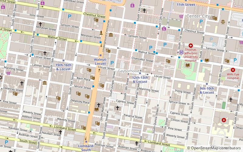
Map

Map

Facts and practical information
The Historical Society of Pennsylvania is a long-established research facility, based in Philadelphia. It is a repository for millions of historic items ranging across rare books, scholarly monographs, family chronicles, maps, press reports and varied ephemera, reaching back almost 300 years, and accessible on the society’s website. ()
Coordinates: 39°56'52"N, 75°9'46"W
Address
1300 Locust StCenter City (Washington Square West)Philadelphia
Contact
Social media
Add
Day trips
Historical Society of Pennsylvania – popular in the area (distance from the attraction)
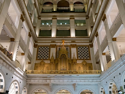
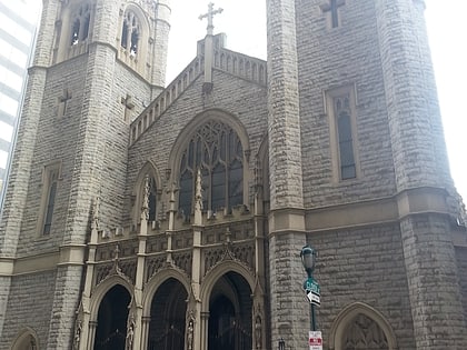
Nearby attractions include: Macy's, Kimmel Center for the Performing Arts, Academy of Music, St. John the Evangelist Catholic Church.
Frequently Asked Questions (FAQ)
Which popular attractions are close to Historical Society of Pennsylvania?
Nearby attractions include Library Company of Philadelphia, Philadelphia (1 min walk), New Century Guild, Philadelphia (1 min walk), Dr. Joseph Leidy House, Philadelphia (1 min walk), Princeton Club, Philadelphia (2 min walk).
How to get to Historical Society of Pennsylvania by public transport?
The nearest stations to Historical Society of Pennsylvania:
Metro
Bus
Tram
Train
Metro
- 12th-13th & Locust • Lines: Patco (2 min walk)
- Walnut-Locust • Lines: Bsl (3 min walk)
Bus
- Broad St & Locust St • Lines: 27, 4 (3 min walk)
- Chestnut St & 13th St • Lines: 9 (6 min walk)
Tram
- 13th Street • Lines: 10, 11, 13, 34, 36 (9 min walk)
- 15th Street • Lines: 10, 11, 13, 34, 36 (10 min walk)
Train
- Jefferson Station (12 min walk)
- Suburban Station (13 min walk)

 SEPTA Regional Rail


