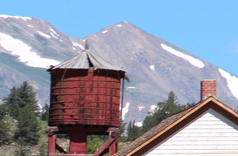
Mount Buckskin, Pike National Forest

Gallery (2)
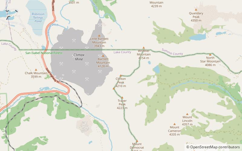
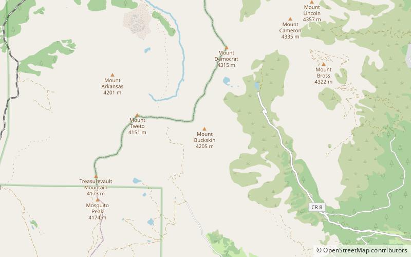
Map
Map
Gallery
Facts and practical information
Mount Buckskin is a high mountain summit in the Mosquito Range of the Rocky Mountains of North America. The 13,872-foot thirteener is located in Pike National Forest, 4.9 miles west-northwest of the Town of Alma in Park County, Colorado, United States. ()
Elevation: 13872 ftProminence: 679 ftCoordinates: 39°19'7"N, 106°8'49"W
Address
Pike National Forest
ContactAdd
Social media
Add
Day trips