Legore Lake, Eagle Cap Wilderness

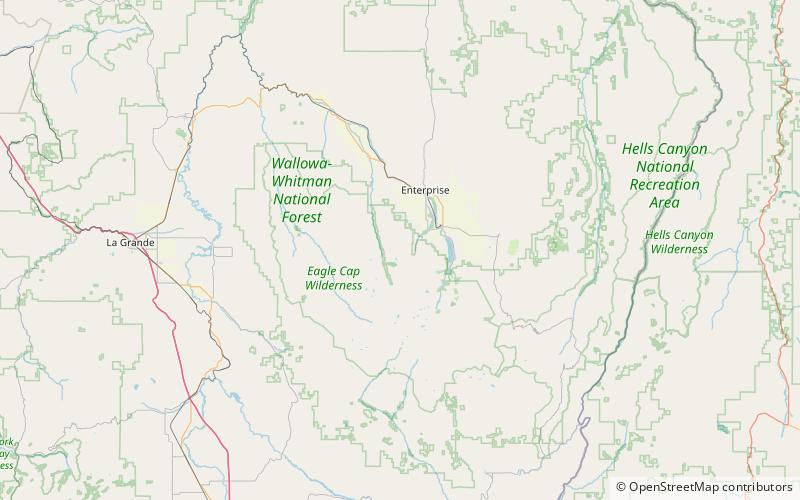
Map
Facts and practical information
LeGore Lake is a tarn located in the Eagle Cap Wilderness of northeastern Oregon, United States. It is the highest true lake in Oregon at 8,950 feet elevation. It is positioned near Twin Peaks and is accessed by a 4-mile hiking trail that ascends 4,000 feet and passes the LeGore mine, the lake's namesake. ()
Length: 579 ftWidth: 372 ftElevation: 8980 ft a.s.l.Coordinates: 45°18'35"N, 117°20'49"W
Address
Eagle Cap Wilderness
ContactAdd
Social media
Add
Day trips
Legore Lake – popular in the area (distance from the attraction)
Nearby attractions include: Maxwell Lake, Ice Lake, Sacajawea Peak, Twin Peaks.


