Twin Peaks, Eagle Cap Wilderness

Map
Facts and practical information
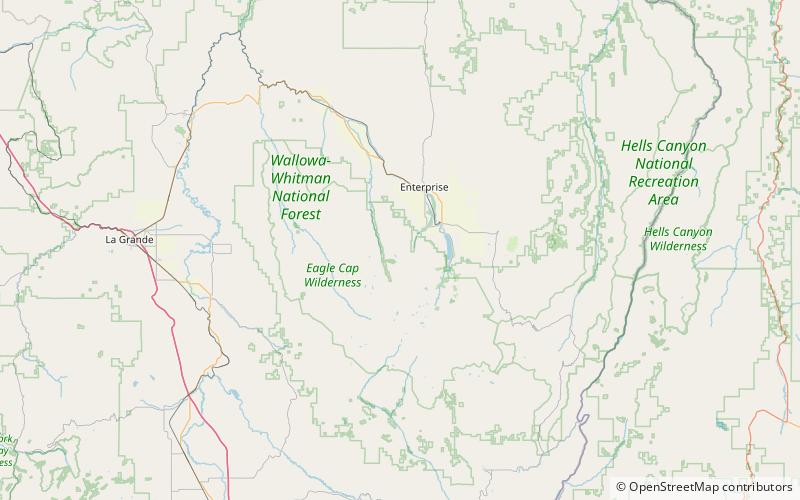
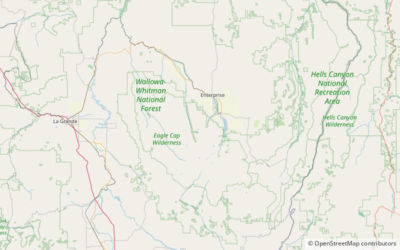
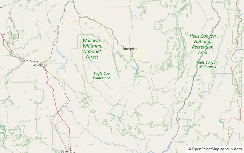
Twin Peaks is a 9,609-foot double summit of the Wallowa Mountains in Wallowa County, Oregon in the United States. It is located in the Eagle Cap Wilderness of the Wallowa National Forest. ()
Elevation: 9609 ftProminence: 1953 ftCoordinates: 45°18'14"N, 117°20'38"W
Address
Eagle Cap Wilderness
ContactAdd
Social media
Add
Day trips
Twin Peaks – popular in the area (distance from the attraction)
Nearby attractions include: Maxwell Lake, Ice Lake, Josephy Center for Arts and Culture, Sacajawea Peak.


