Town Boundary Markers of Barnstable, Barnstable
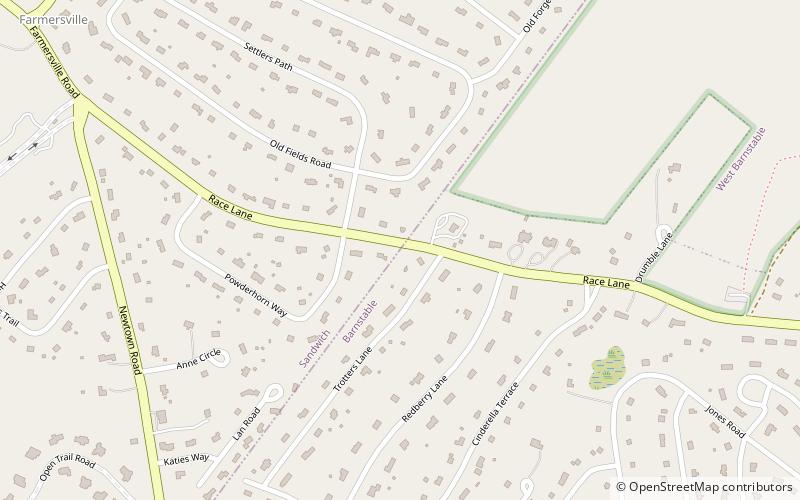
Map

Map

Facts and practical information
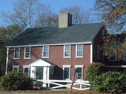
The town of Barnstable, Massachusetts has four surviving stone markers that were used in colonial days to mark the town's boundaries with its neighbors. All four are listed on the National Register of Historic Places, three of them individually, and one as part of the Old King's Highway Historic District. Barnstable was established in 1639. ()
Coordinates: 41°41'12"N, 70°26'10"W
Address
Upper Cape (Sandwich)Barnstable
ContactAdd
Social media
Add
Day trips
Town Boundary Markers of Barnstable – popular in the area (distance from the attraction)
Nearby attractions include: Mashpee Commons, Cahoon Museum of American Art, Benjamin Nye Homestead, Marstons Mills Community Church.


