Mount Saint Helens, Mount St. Helens
Map

Map

Facts and practical information
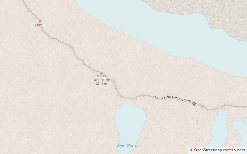
Mount St. Helens is an active stratovolcano located in Skamania County, Washington in the Pacific Northwest region of the United States. It lies 52 miles northeast of Portland, Oregon and 98 miles south of Seattle. Mount St. Helens takes its English name from the British diplomat Lord St Helens, a friend of explorer George Vancouver who surveyed the area in the late 18th century. The volcano is part of the Cascade Volcanic Arc, a segment of the Pacific Ring of Fire. ()
Alternative names: First ascent: 1853Last eruption: 2004Elevation: 8363 ftProminence: 4605 ftCoordinates: 46°11'28"N, 122°11'38"W
Address
Mount St. Helens
ContactAdd
Social media
Add
Day trips
Mount Saint Helens – popular in the area (distance from the attraction)
Nearby attractions include: Ape Canyon, Lava Canyon Falls, Crater Glacier, Mount St. Helens National Volcanic Monument.


