Shoestring Glacier, Mount St. Helens

Map
Facts and practical information
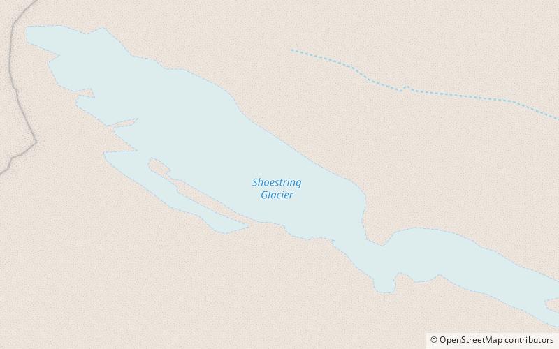
The Shoestring Glacier is a small valley glacier, stretching out from the 8,364-foot peak of Mount St. Helens in Skamania county in southwest Washington in the United States. The source of the glacier was an ice and snow field on the summit of the mountain. 75% of the glacier's volume was removed through the volcanic activity of Saint Helens, creating deadly lahars down the mountainside. The glacier has also created a truncated spur on the mountain. ()
Coordinates: 46°11'27"N, 122°10'19"W
Address
Mount St. Helens
ContactAdd
Social media
Add
Day trips
Shoestring Glacier – popular in the area (distance from the attraction)
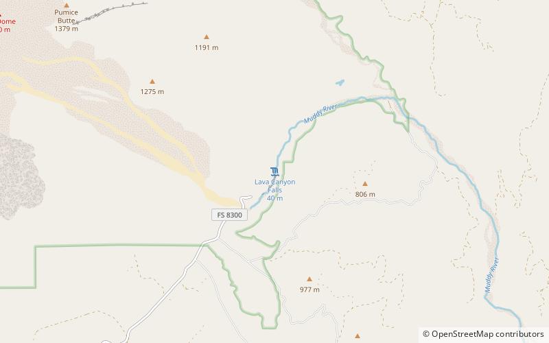
Nearby attractions include: Ape Canyon, Lava Canyon Falls, Crater Glacier, Mount St. Helens National Volcanic Monument.


