Appomattox Statue, Alexandria
Map

Map

Facts and practical information
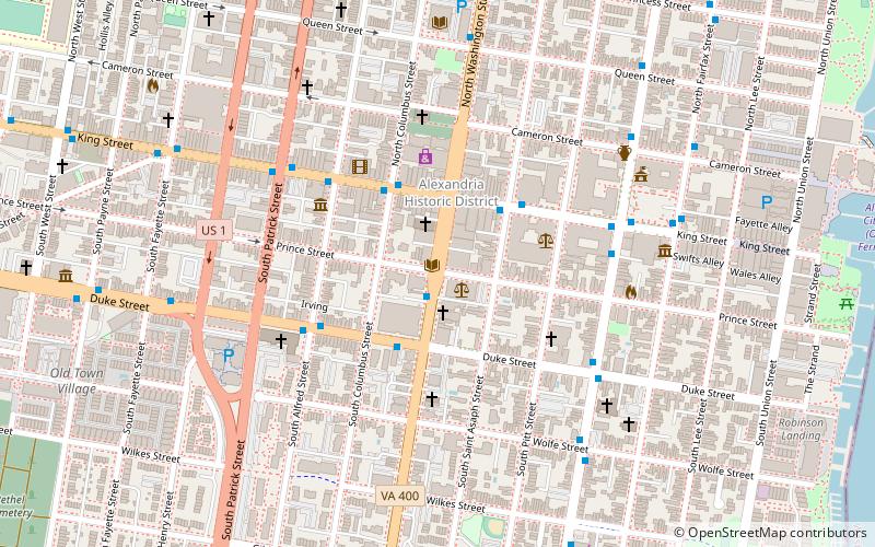
Appomattox is a bronze statue commemorating soldiers from Alexandria, Virginia, who had died while fighting for the Confederacy during the American Civil War. The memorial was located in the center of the intersection of South Washington Street and Prince Street in the Old Town neighborhood of Alexandria. ()
Completed: 1889 (137 years ago)Coordinates: 38°48'14"N, 77°2'50"W
Address
S. Washington St.Alexandria (Old Town)Alexandria 22314
ContactAdd
Social media
Add
Day trips
Appomattox Statue – popular in the area (distance from the attraction)
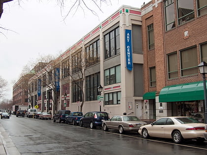
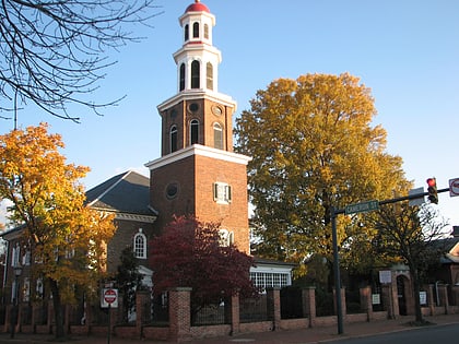
Nearby attractions include: Torpedo Factory Art Center, Christ Church, Carlyle House, Gadsby's Tavern.
Frequently Asked Questions (FAQ)
Which popular attractions are close to Appomattox Statue?
Nearby attractions include Lloyd House, Alexandria (1 min walk), Lyceum, Alexandria (1 min walk), Alexandria Historic District, Alexandria (2 min walk), Beulah Baptist Church, Alexandria (4 min walk).
How to get to Appomattox Statue by public transport?
The nearest stations to Appomattox Statue:
Bus
Metro
Train
Bus
- S Washington St & Prince St • Lines: At5 (1 min walk)
- King St + Washington St • Lines: At2 (3 min walk)
Metro
- King Street–Old Town • Lines: Bl, Yl (20 min walk)
- Braddock Road • Lines: Bl, Yl (21 min walk)
Train
- Alexandria (22 min walk)
- Alexandria Union Station (22 min walk)


