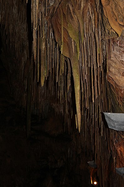
Smoke Hole Caverns, Monongahela National Forest

Gallery (2)
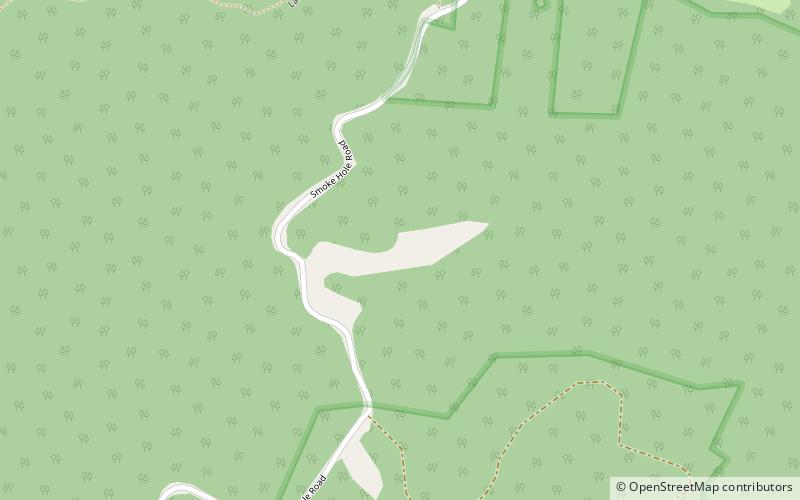
Map
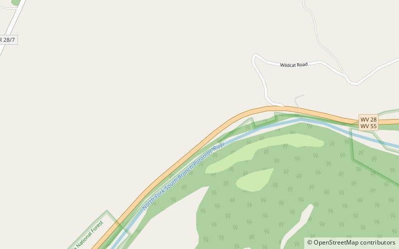
Map
Gallery
Facts and practical information
Smoke Hole Caverns is a picturesque show cave in Grant County in West Virginia's Eastern Panhandle. ()
Elevation: 1112 ft a.s.l.Coordinates: 38°59'9"N, 79°16'0"W
Address
5413 North Fork HighwayMonongahela National Forest 26884
Contact
+1 800-828-8478
Social media
Add
Day trips