Jordan Run Falls, Monongahela National Forest
Map

Map

Facts and practical information
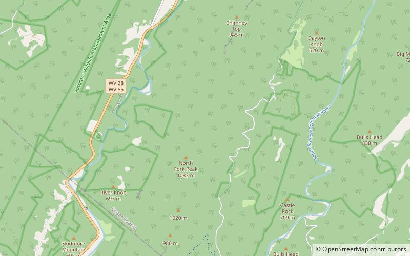
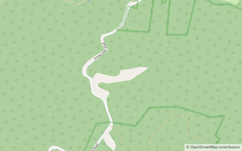
Jordan Run Falls is a waterfall on Jordan Run, a tributary of the North Fork South Branch Potomac River in Grant County, West Virginia, United States. The drop is about 25 to 30 feet. ()
Height: 25 ftCoordinates: 38°56'38"N, 79°15'58"W
Address
Monongahela National Forest
ContactAdd
Social media
Add
Day trips
Jordan Run Falls – popular in the area (distance from the attraction)
Nearby attractions include: Smoke Hole Caverns, Dolly Sods Wilderness, Champe Rocks, Old Judy Church.


