Ada Covered Bridge, Ada
Map
Gallery
Facts and practical information
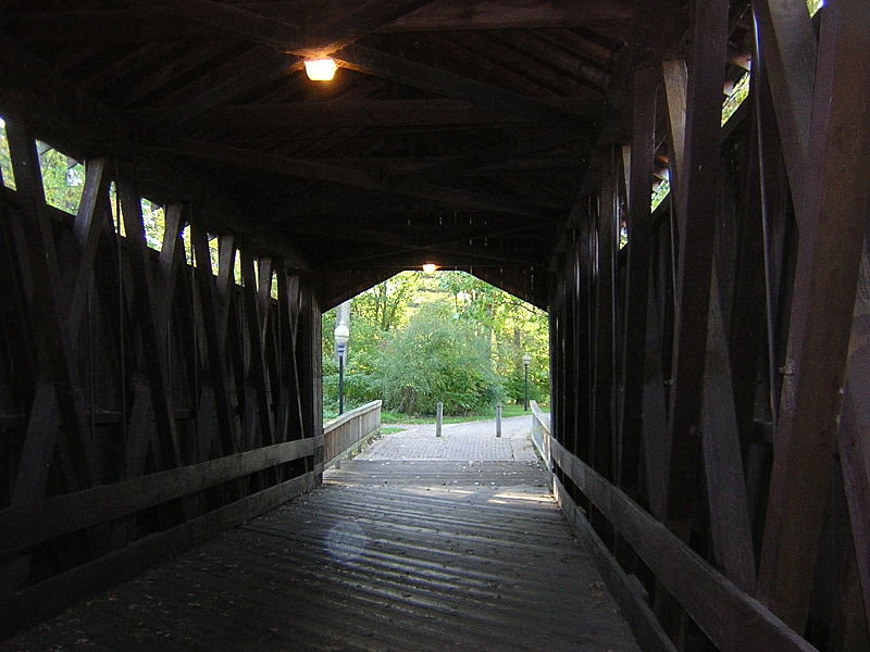
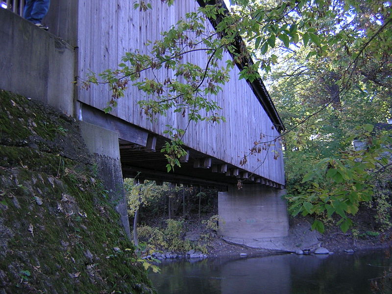
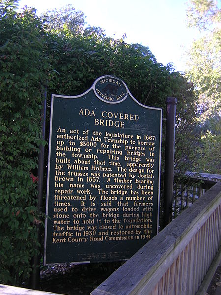
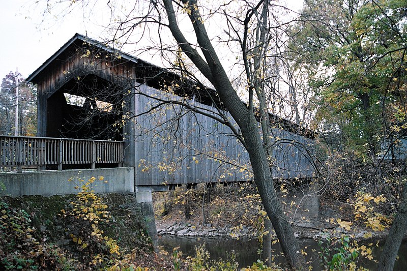
The Ada Covered Bridge is a 125-foot span Brown truss covered bridge erected in 1867 in Ada, Michigan, United States. Carrying Bronson Street across the Thornapple River, it is located just south of where the Thornapple enters the Grand River, in turn just south of M-21. It is listed on the National Register of Historic Places. ()
Built: 1867 (159 years ago)Coordinates: 42°57'9"N, 85°29'11"W
Address
7490 Thornapple River Dr SEForest HillsAda
ContactAdd
Social media
Add
Day trips
Ada Covered Bridge – popular in the area (distance from the attraction)
Nearby attractions include: Frederik Meijer Gardens & Sculpture Park, Woodland Mall, Shops at CenterPoint, Thornapple Pointe Golf Club.


