Rambleridge Park, Omaha

Gallery (3)
Map
Map
Gallery
Facts and practical information
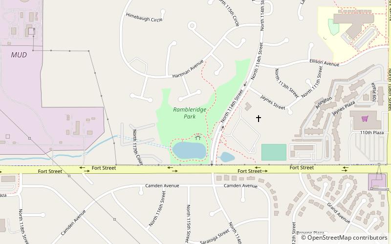
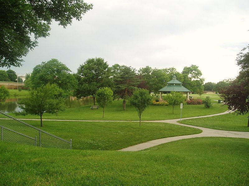
Rambleridge Park was developed in the late 1970s at 11424 Fort Street in Omaha, Nebraska. The park includes a lagoon, walking trails, soccer fields and a large green space for miscellaneous activities. A small playground is located farther in the neighborhood and can be reached after a short walk. The park and green spaces throughout the neighborhood are maintained by the City of Omaha and the residents of the neighborhood. ()
Elevation: 1089 ft a.s.l.Coordinates: 41°18'30"N, 96°5'24"W
Address
Northwest Omaha (Rambleridge)Omaha
ContactAdd
Social media
Add
Day trips