Do Space, Omaha
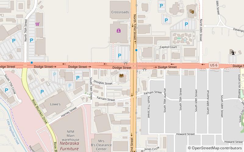
Map
Facts and practical information
Do Space is a 501 non-profit community center for technology, digital library, education, and small makerspace featuring 3D printing technology in Omaha, Nebraska. ()
Established: 2015 (11 years ago)Coordinates: 41°15'33"N, 96°1'29"W
Day trips
Do Space – popular in the area (distance from the attraction)
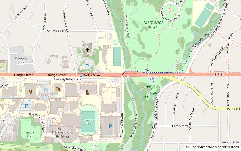
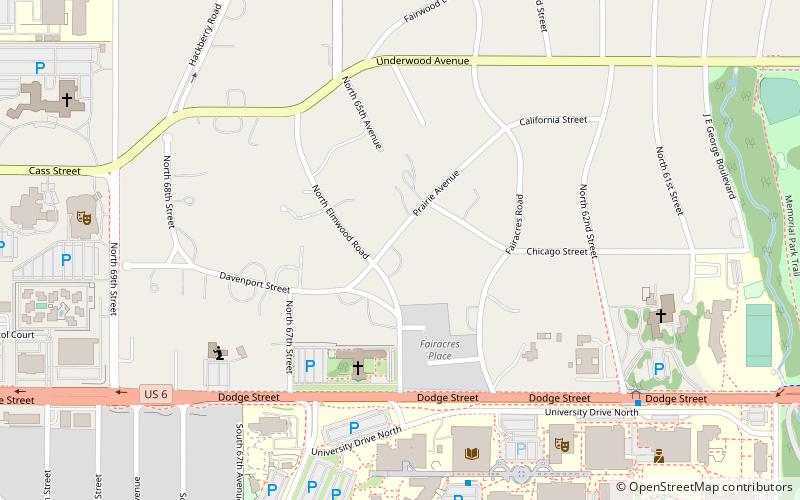
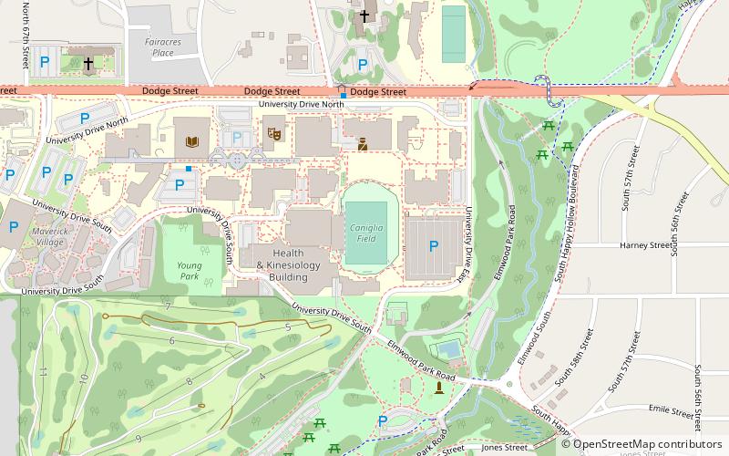
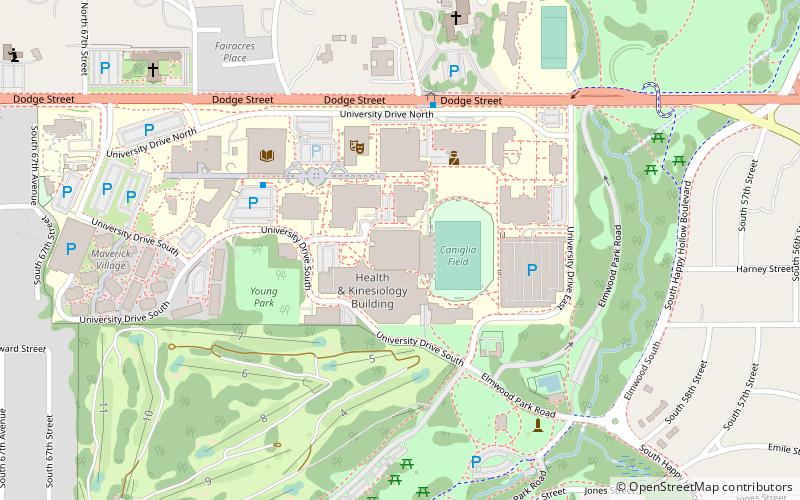
Nearby attractions include: Crossroads Mall, Memorial Park, University of Nebraska Omaha, Elmwood Park Golf Course.
Frequently Asked Questions (FAQ)
When is Do Space open?
Do Space is open:
- Monday 9 am - 5 pm
- Tuesday 9 am - 5 pm
- Wednesday 9 am - 5 pm
- Thursday 9 am - 5 pm
- Friday 9 am - 5 pm
- Saturday 9 am - 5 pm
- Sunday closed
Which popular attractions are close to Do Space?
Nearby attractions include Omaha Community Playhouse, Omaha (9 min walk), Dodge Street, Omaha (13 min walk), Fairacres Historic District, Omaha (17 min walk), UNO Criss Library, Omaha (18 min walk).
How to get to Do Space by public transport?
The nearest stations to Do Space:
Bus
Bus
- 72nd & Dodge • Lines: 2 (1 min walk)
- 62nd & Dodge • Lines: 2 (23 min walk)


