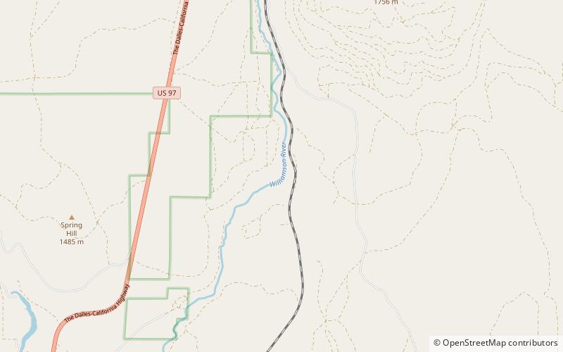
Lower Williamson Gorge, Fremont–Winema National Forest

Map
Facts and practical information
The Lower Williamson Gorge is located in the Winema National Forest north of Chiloquin in Klamath County, Oregon. It is formed where the Williamson River eroded its way from the Beaver Marsh area down through the escarpment north of Collier Memorial State Park into the Klamath Basin ()
Coordinates: 42°41'24"N, 121°49'16"W
Address
Fremont–Winema National Forest
ContactAdd
Social media
Add
Day trips
Lower Williamson Gorge – popular in the area (distance from the attraction)
Nearby attractions include: Collier Memorial State Park.
