Islamic Society of Greater Lowell, Lowell
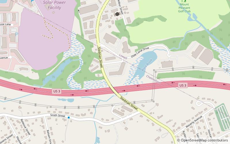
Map
Facts and practical information
The Islamic Society of Greater Lowell is a mosque in Chelmsford, Massachusetts, which also serves as a center for lectures and social activities, including a weekly school. The mosque was established in 1993. ()
Coordinates: 42°37'17"N, 71°21'2"W
Address
Lowell (Highlands)Lowell
ContactAdd
Social media
Add
Getting there by public transportation
Public transportation stops near this location
- Bus
 Bus
Bus
- Calculate routeDrum Hill Plaza 14 min walk
- Calculate routeWestford St and Steadman St 15 min walk
- Calculate routeSt. Margaret Elementary School 26 min walk
Day trips


Frequently Asked Questions (FAQ)
Which popular attractions are close to Islamic Society of Greater Lowell?
Nearby attractions include Tuong Van Buddhist Youth Group, Lowell (6 min walk), Tyler Park Historic District, Lowell (22 min walk).
How to get to Islamic Society of Greater Lowell by public transport?
The nearest stations to Islamic Society of Greater Lowell:
Bus
Bus
- Drum Hill Plaza • Lines: 5, Drum Hill Line (14 min walk)
- Westford St and Steadman St • Lines: 5 (15 min walk)