Snowbank Glacier, Absaroka–Beartooth Wilderness
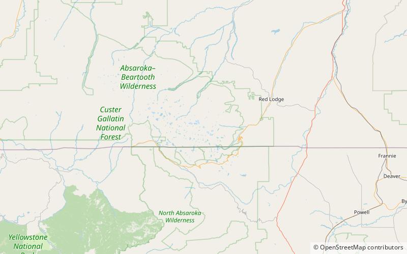
Map
Facts and practical information
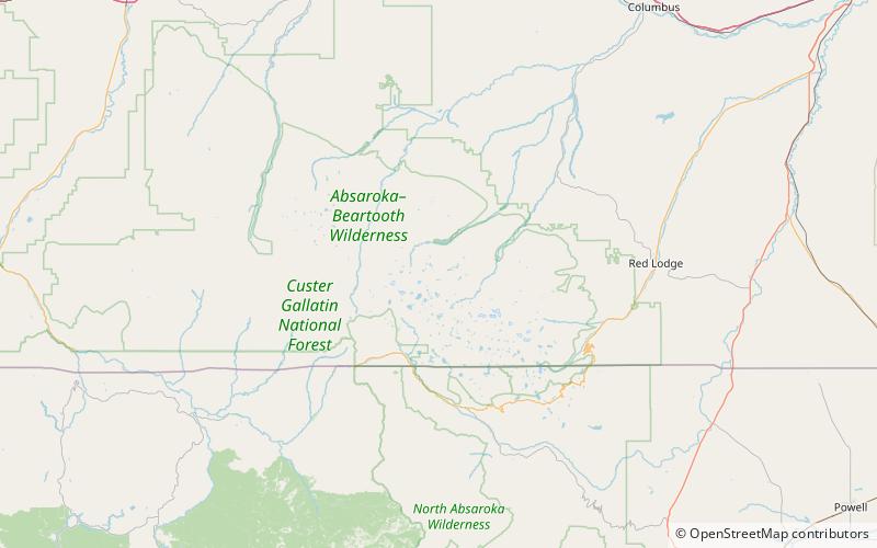
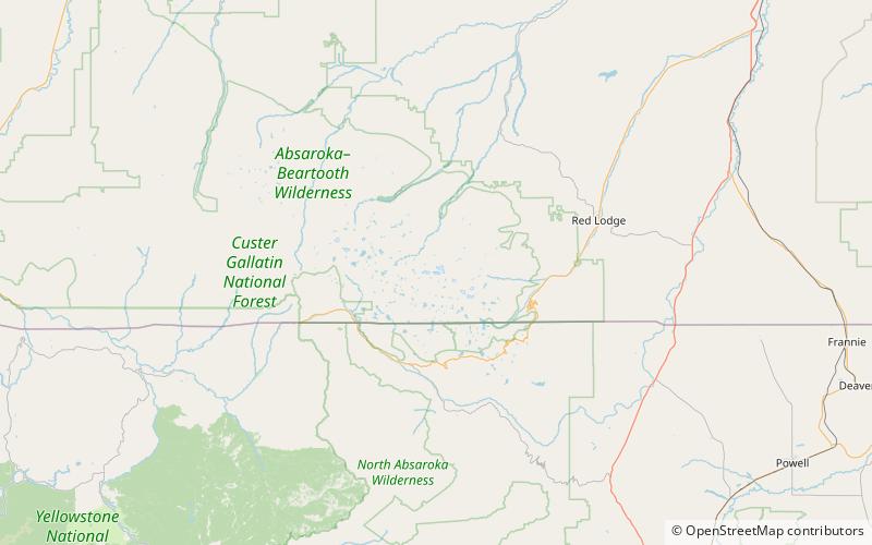
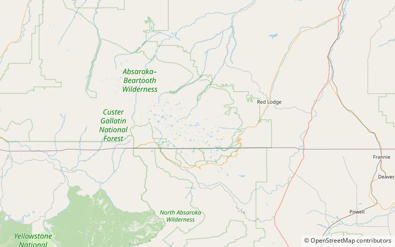
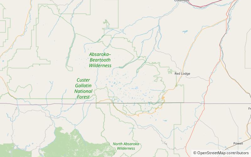
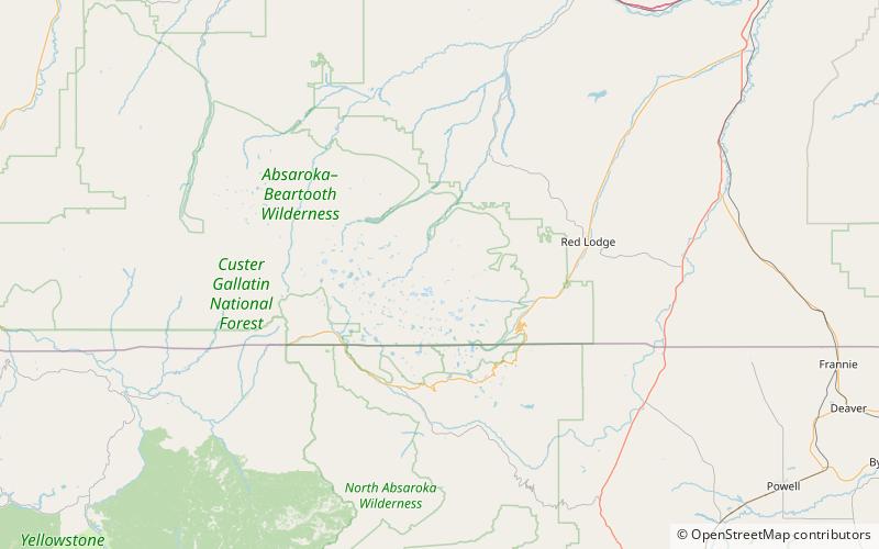
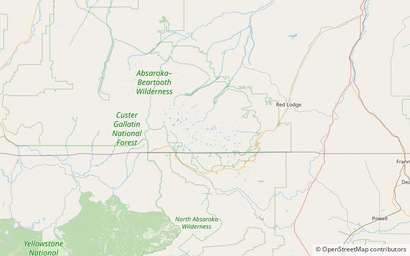
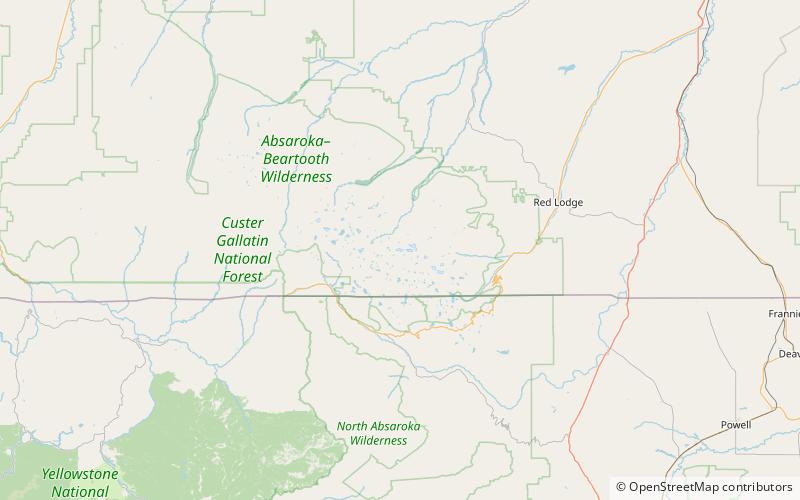
Snowbank Glacier is in the Beartooth Mountains, U.S. state of Montana. The glacier is situated at an elevation of 10,600 feet above sea level and is immediately east of Snowbank Mountain. The glacier is in two sections, a west and east lobe, each about equal in area at 60 acres. A proglacial lake can be found at the northern terminus of the west lobe. ()
Length: 2376 ftCoordinates: 45°5'35"N, 109°40'55"W
Address
Absaroka–Beartooth Wilderness
ContactAdd
Social media
Add
Day trips
Snowbank Glacier – popular in the area (distance from the attraction)
Nearby attractions include: Tempest Mountain, Whitetail Peak, Castle Rock Glacier, Sundance Glacier.
Frequently Asked Questions (FAQ)
Which popular attractions are close to Snowbank Glacier?
Nearby attractions include Snowbank Mountain, Absaroka–Beartooth Wilderness (19 min walk), Salo Mountain, Absaroka–Beartooth Wilderness (19 min walk).
