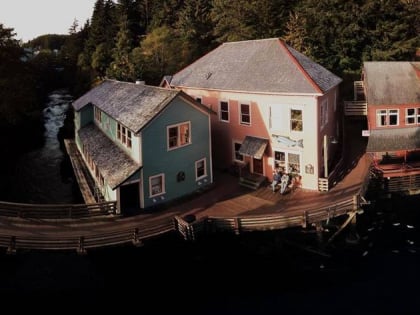
The Star, Ketchikan
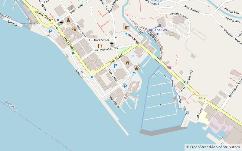
Map
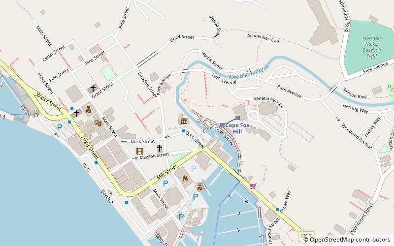
Map

Facts and practical information
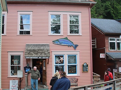
The Star is a historic commercial building at 5 Creek Street in Ketchikan, Alaska, United States. It is the only one of a once-numerous collection of brothels that famously lined Creek Street to retain its historical integrity, and was one of the largest in the city. ()
Built: 1917 (109 years ago)Coordinates: 55°20'33"N, 131°38'35"W
Address
Ketchikan
ContactAdd
Social media
Add
Day trips
The Star – popular in the area (distance from the attraction)
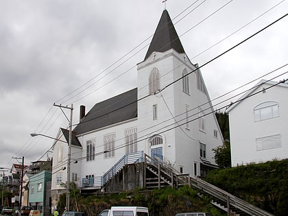
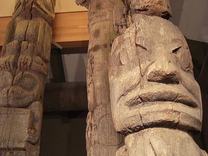
Nearby attractions include: Southeast Alaska Discovery Center, First Lutheran Church, Totem Heritage Center, Soho Coho.
Frequently Asked Questions (FAQ)
Which popular attractions are close to The Star?
Nearby attractions include Soho Coho, Ketchikan (2 min walk), Southeast Alaska Discovery Center, Ketchikan (4 min walk), Stedman–Thomas Historic District, Ketchikan (5 min walk), Totem Heritage Center, Ketchikan (10 min walk).
How to get to The Star by public transport?
The nearest stations to The Star:
Train
Train
- Creek Street (2 min walk)
- Cape Fox Hill (2 min walk)
