LaSalle Street, Chicago
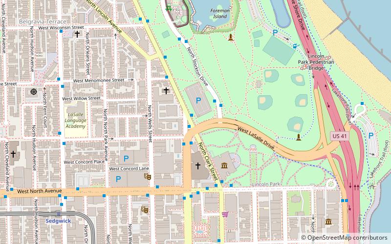
Map
Gallery
Facts and practical information
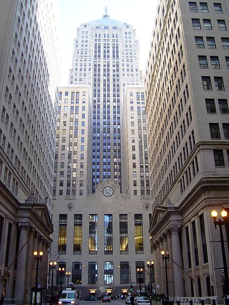
LaSalle Street is a major north-south street in Chicago named for Robert de La Salle, a 17th century French explorer of the Illinois Country. The portion that runs through the Chicago Loop is considered to be Chicago's financial district. ()
Coordinates: 41°54'48"N, 87°37'58"W
Address
1660 N LaSalle StNorth Side (Lincoln Park)Chicago
ContactAdd
Social media
Add
Day trips
LaSalle Street – popular in the area (distance from the attraction)
Nearby attractions include: Chicago History Museum, Lincoln Park Zoo, First Saint Paul's Evangelical Lutheran Church, Ulysses S. Grant Monument.
Frequently Asked Questions (FAQ)
Which popular attractions are close to LaSalle Street?
Nearby attractions include Moody Church, Chicago (3 min walk), Lincoln Park, Chicago (3 min walk), Chicago History Museum, Chicago (3 min walk), Abraham Lincoln: The Man, Chicago (4 min walk).
How to get to LaSalle Street by public transport?
The nearest stations to LaSalle Street:
Bus
Metro
Bus
- Clark & LaSalle • Lines: 22, 36, 73, (N) N22 (1 min walk)
- LaSalle & Eugenie NB • Lines: 156 (2 min walk)
Metro
- Sedgwick • Lines: Brown, Purple (10 min walk)
- Clark/Division • Lines: Red (17 min walk)

 Rail "L"


