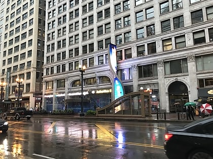
Chicago Loop, Chicago

Facts and practical information
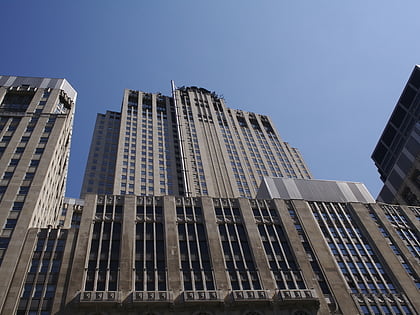
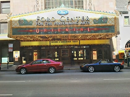
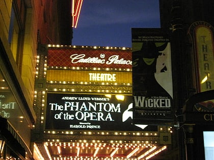
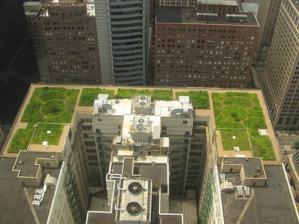
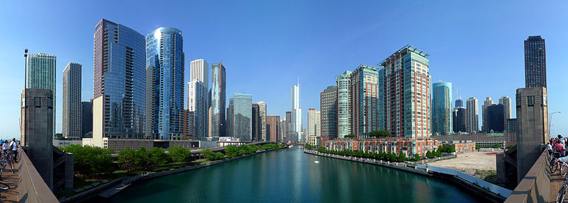
The Loop, one of Chicago's 77 designated community areas, is the central business district of the city and is the main section of Downtown Chicago. Home to Chicago's commercial core, it is the second largest commercial business district in North America and contains the headquarters and regional offices of several global and national businesses, retail establishments, restaurants, hotels, and theaters, as well as many of Chicago's most famous attractions. It is home to Chicago's City Hall, the seat of Cook County, and numerous offices of other levels of government and consulates of foreign nations. In it, at the intersection of State Street and Madison Street, is the origin of Chicago's street grid addresses, established in 1909. Most of Grant Park's 319 acres are in the eastern section of the community area. The Loop community area is bounded on the north and west by the Chicago River, on the east by Lake Michigan, and on the south by Roosevelt Road, although the commercial core has greatly expanded into adjacent community areas. ()
Downtown (The Loop)Chicago
Chicago Loop – popular in the area (distance from the attraction)
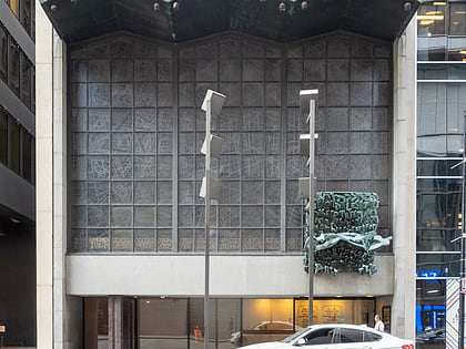
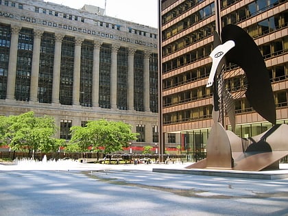
Nearby attractions include: State Street, Chicago Picasso, Civic Opera House, Loop Synagogue.
Frequently Asked Questions (FAQ)
Which popular attractions are close to Chicago Loop?
How to get to Chicago Loop by public transport?
Bus
- Wells & Washington • Lines: 37 (1 min walk)
- Washington & LaSalle • Lines: 124, 157, 19, 20, 56, 60, J14, (N) N20, (N) N60 (1 min walk)
Metro
- Washington/Wells • Lines: Brown, Orange, Pink, Purple (2 min walk)
- Clark/Lake • Lines: Blue, Brown, Green, Orange, Pink, Purple (6 min walk)
Train
- Ogilvie Transportation Center (10 min walk)
- Chicago Union Station (12 min walk)

 Rail "L"

