Vivian Anderson Moultrie Playground, Charleston
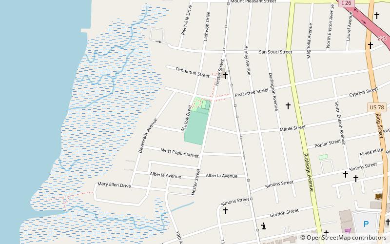
Map
Gallery
Facts and practical information
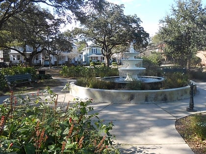
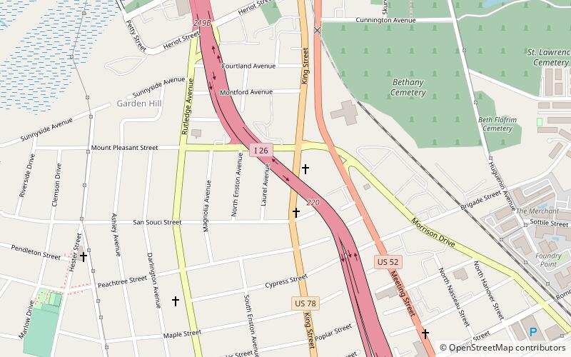
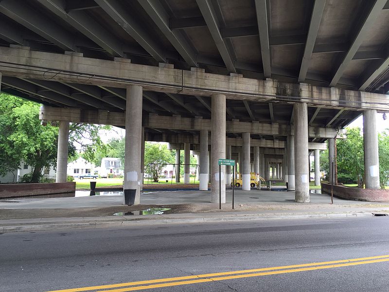
Vivan Anderson Moultrie Playground was created in the early 1970s to mitigate the effects of I-26's routing across the peninsula of Charleston, South Carolina, United States. After the elevated interstate was completed, a sandbox and play equipment were installed under the roadway. The new recreation area was known as Linear Park. In 2000, the City of Charleston improved the playground and renamed it in honor of a longtime resident. ()
Created: 1970Elevation: 13 ft a.s.l.Coordinates: 32°48'42"N, 79°57'6"W
Address
North CentralCharleston
ContactAdd
Social media
Add
Day trips
Vivian Anderson Moultrie Playground – popular in the area (distance from the attraction)
Nearby attractions include: Summerall Chapel, Magnolia Cemetery, The Citadel, Denmark Vesey Monument.
Frequently Asked Questions (FAQ)
Which popular attractions are close to Vivian Anderson Moultrie Playground?
Nearby attractions include Joseph Floyd Manor, Charleston (3 min walk), Charleston Cemeteries Historic District, Charleston (11 min walk), Corrine Jones Playground, Charleston (13 min walk), Magnolia Cemetery, Charleston (19 min walk).

