Eleven Jones Cave, Louisville
Map

Gallery

Facts and practical information
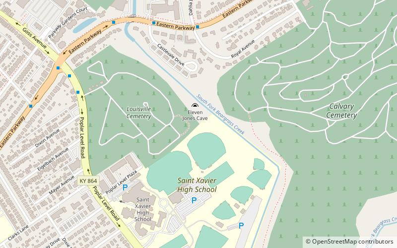
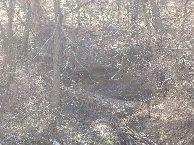
Eleven Jones Cave is located by Beargrass Creek in Louisville, Kentucky. It is 1,600 feet southeast of the corner of Eastern Parkway and Poplar Level Road on the west bank, between Louisville Cemetery and Calvary Cemetery, near St. Xavier High School. It is developed in Louisville Limestone 448 feet above sea level. A spring discharges water into Beargrass Creek. ()
Coordinates: 38°13'19"N, 85°43'27"W
Address
South Side (Poplar Level)Louisville
ContactAdd
Social media
Add
Day trips
Eleven Jones Cave – popular in the area (distance from the attraction)
Nearby attractions include: Louisville Zoo, Mid-City Mall, John B. Castleman Monument, St. James Catholic Church.
Frequently Asked Questions (FAQ)
Which popular attractions are close to Eleven Jones Cave?
Nearby attractions include Tyler Park, Louisville (19 min walk), Gnadinger Park, Louisville (20 min walk), Schnitzelburg, Louisville (21 min walk), St. Elizabeth's Catholic Church, Louisville (22 min walk).
How to get to Eleven Jones Cave by public transport?
The nearest stations to Eleven Jones Cave:
Bus
Bus
- Eastern Parkway / Royal • Lines: 29East Bardstown Rd, 29East Oxmoor, 29West Bardstown Rd, 29West Oxmoor (6 min walk)
- Eastern Parkway / 1138 • Lines: 29East Bardstown Rd, 29East Oxmoor (8 min walk)


