Marietta Earthworks, Marietta
Map
Gallery
Facts and practical information
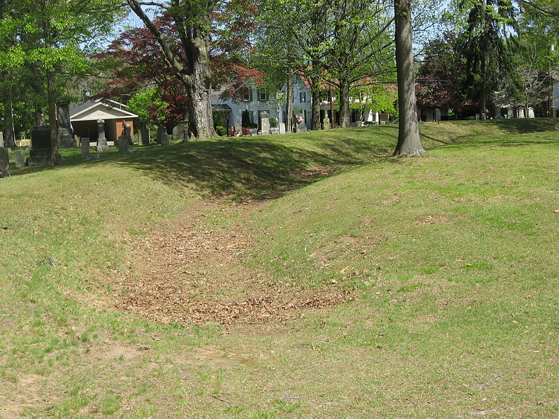
The Marietta Earthworks is an archaeological site located at the confluence of the Muskingum and Ohio Rivers in Washington County, Ohio, United States. Most of this Hopewellian complex of earthworks is now covered by the modern city of Marietta. Archaeologists have dated the ceremonial site's construction to approximately 100 BCE to 500 CE. ()
Built: 100 B.C.E.Abandoned: 500Coordinates: 39°25'12"N, 81°27'7"W
Address
Marietta
ContactAdd
Social media
Add
Day trips
Marietta Earthworks – popular in the area (distance from the attraction)
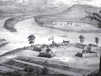
Nearby attractions include: Mound Cemetery, Basilica of St. Mary of the Assumption, Washington State Community College, Fort Harmar.
Frequently Asked Questions (FAQ)
Which popular attractions are close to Marietta Earthworks?
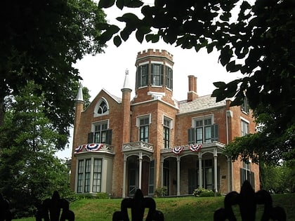
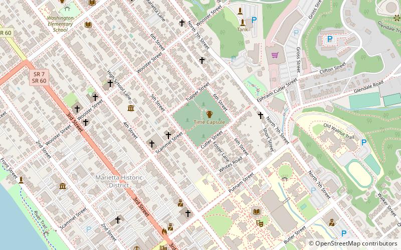
Nearby attractions include Mound Cemetery, Marietta (1 min walk), The Castle, Marietta (5 min walk), Basilica of St. Mary of the Assumption, Marietta (6 min walk), Marietta Historic District, Marietta (6 min walk).

