St. Antoninus Church, Newark
Map
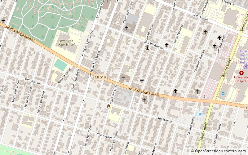
Map

Facts and practical information
St. Antoninus Church is a Roman Catholic parish church located at 337 South Orange Avenue within the Archdiocese of Newark, in Newark, New Jersey. ()
Coordinates: 40°44'25"N, 74°11'57"W
Day trips
St. Antoninus Church – popular in the area (distance from the attraction)
Nearby attractions include: Bethany Baptist Church, Newark Abbey, Newark Symphony Hall, Seated Lincoln.
Frequently Asked Questions (FAQ)
Which popular attractions are close to St. Antoninus Church?
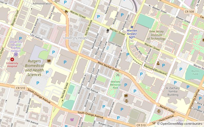
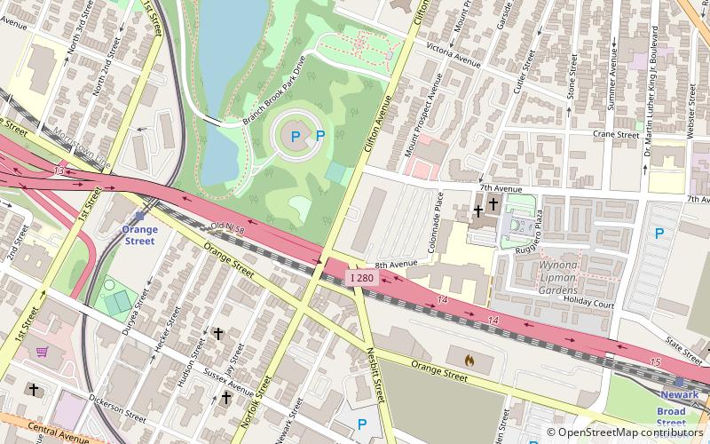
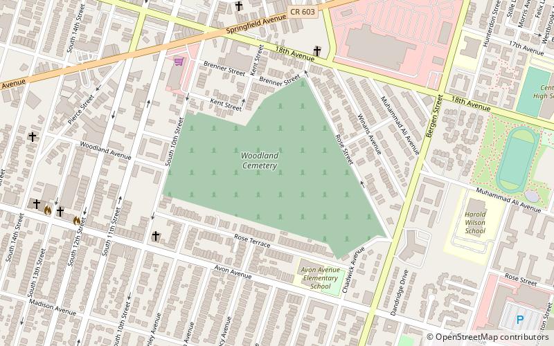
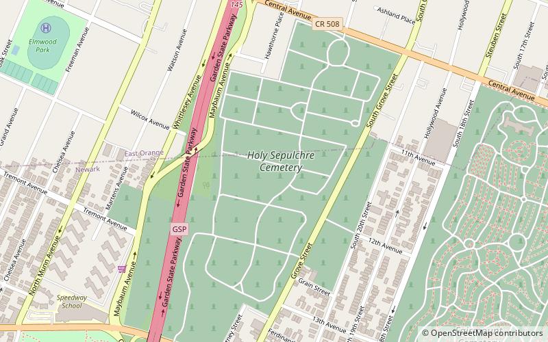
Nearby attractions include Mosque No. 25, Newark (7 min walk), St. Rocco's Roman Catholic Church, Newark (10 min walk), George F Smith Library of the Health Sciences, Newark (12 min walk), Fairmount Cemetery, Newark (12 min walk).
How to get to St. Antoninus Church by public transport?
The nearest stations to St. Antoninus Church:
Light rail
Light rail
- Norfolk Street • Lines: Nlr (24 min walk)
- Warren Street/NJIT • Lines: Nlr (25 min walk)

