Westmoreland Park, Portland
Map
Gallery
Facts and practical information
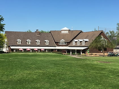
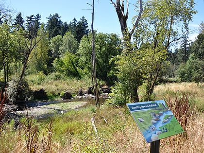
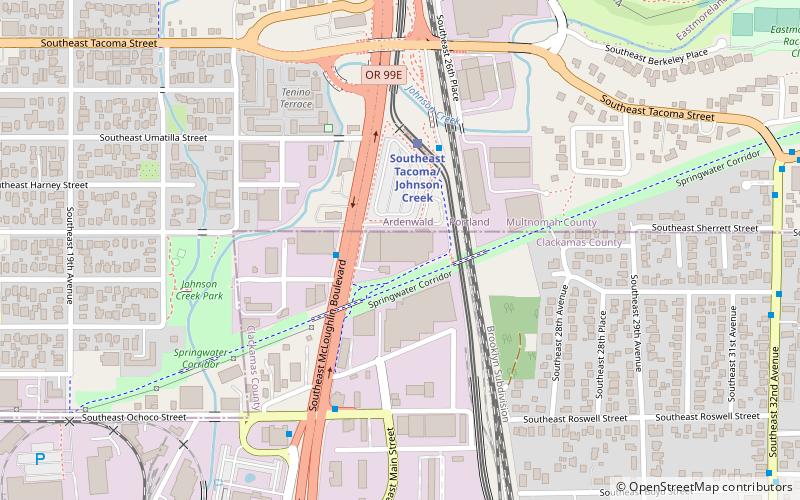
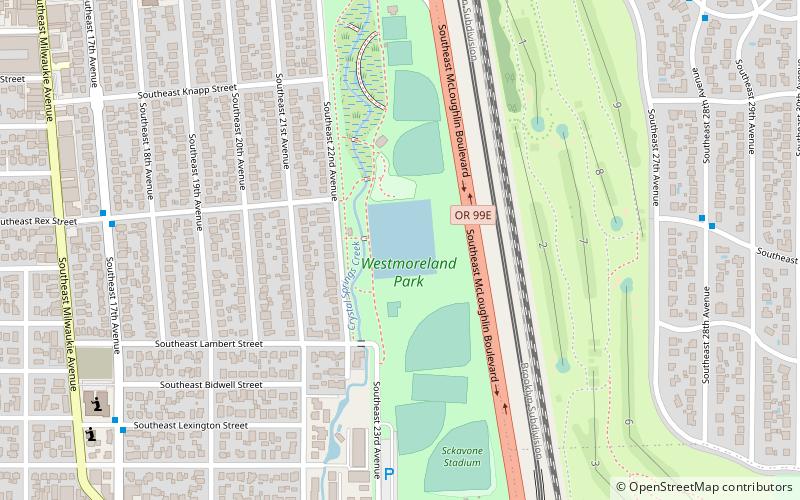
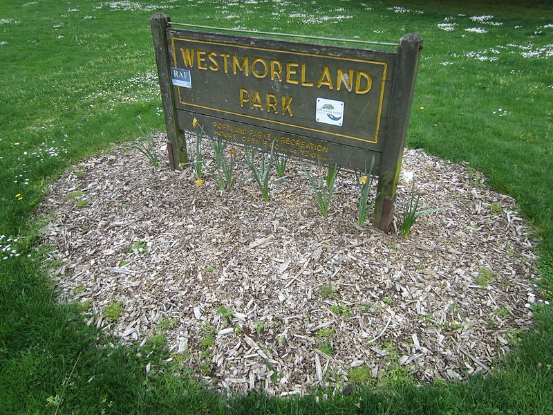
Westmoreland Park is a municipal park located in the Westmoreland area of southeast Portland, Oregon's Westmoreland neighborhood, United States. The property for the park was acquired in 1936 and encompasses 42.01 acres. Located along McLoughlin Boulevard, the park straddles Crystal Springs Creek just downstream from the Crystal Springs Rhododendron Garden. The park is operated by Portland Parks & Recreation and includes sports fields, a playground, and pond. ()
Created: 1936Elevation: 52 ft a.s.l.Coordinates: 45°28'11"N, 122°38'28"W
Address
Southeast Uplift (Westmoreland)Portland
ContactAdd
Social media
Add
Day trips
Westmoreland Park – popular in the area (distance from the attraction)
Nearby attractions include: Oaks Amusement Park, Eastmoreland Golf Course, Puppet Museum, Waverley Country Club.
Frequently Asked Questions (FAQ)
Which popular attractions are close to Westmoreland Park?
Nearby attractions include Bybee Bridge, Portland (9 min walk), Jacques and Amelia Reinhart House, Portland (11 min walk), Moreland Theater, Portland (12 min walk), James Hickey House, Portland (13 min walk).
How to get to Westmoreland Park by public transport?
The nearest stations to Westmoreland Park:
Bus
Light rail
Train
Bus
- Southeast 17th & Rex • Lines: 70 (8 min walk)
- Southeast Bybee & 22nd • Lines: 19 (8 min walk)
Light rail
- Southeast Bybee Boulevard • Lines: Orange (10 min walk)
Train
- Oaks Park (25 min walk)


