Sellwood Park, Portland
Map

Gallery

Facts and practical information
Sellwood Park is a city park of about 17 acres in southeast Portland, in the U.S. state of Oregon. ()
Created: 1909Elevation: 118 ft a.s.l.Coordinates: 45°28'4"N, 122°39'36"W
Address
Southeast Seventh Avenue and Miller StreetSoutheast Uplift (Westmoreland)Portland 97202
Contact
+1 503-823-2223
Social media
Add
Day trips
Sellwood Park – popular in the area (distance from the attraction)
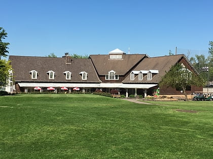
Nearby attractions include: Oaks Amusement Park, Eastmoreland Golf Course, Puppet Museum, Waverley Country Club.
Frequently Asked Questions (FAQ)
Which popular attractions are close to Sellwood Park?
Nearby attractions include St. John's Episcopal Church, Portland (5 min walk), Sellwood Riverfront Park, Portland (5 min walk), Sellwood Playhouse, Portland (6 min walk), Sellwood-Moreland Library, Portland (9 min walk).
How to get to Sellwood Park by public transport?
The nearest stations to Sellwood Park:
Bus
Train
Light rail
Bus
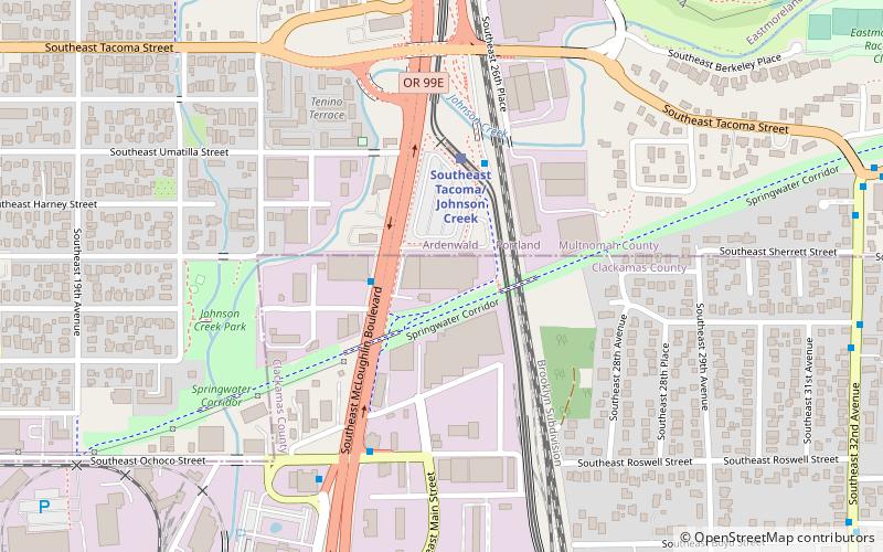
- Southeast Tacoma & 7th • Lines: 99 (7 min walk)
- Southeast 13th & Lambert • Lines: 70 (9 min walk)
Train
- Oaks Park (8 min walk)
Light rail
- Southeast Bybee Boulevard • Lines: Orange (28 min walk)


