Holly Avenue Historic District, Winston-Salem

Facts and practical information
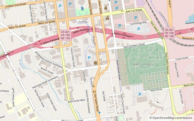
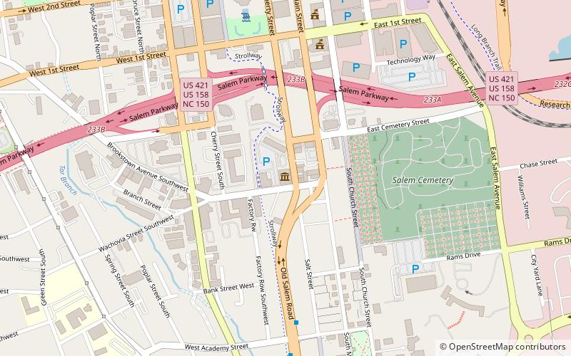
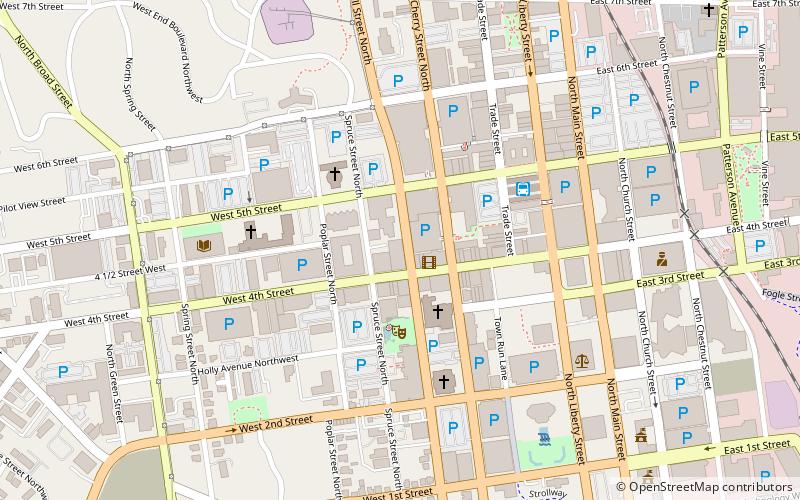
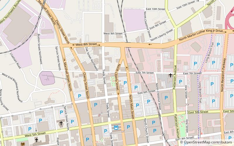
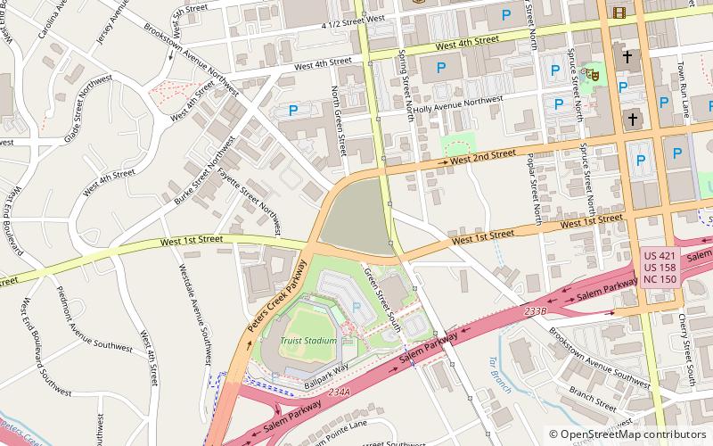
Holly Avenue Historic District is a national historic district located at Winston-Salem, Forsyth County, North Carolina. The district encompasses 115 contributing buildings and 1 contributing site in a predominantly residential section of Winston-Salem. The buildings date between about 1885 and 1952, and include single family dwellings and apartment building. The include examples of late-19th and early-20th popular architectural styles including the Queen Anne and Italianate style. Notable buildings include the Henry Case House, James Jessup House, Henry Foltz bam, Calvary Moravian Church, T. R. Brann's store, and Green Front Grocery. ()
WestendWinston-Salem
Holly Avenue Historic District – popular in the area (distance from the attraction)
Nearby attractions include: Truist Stadium, Kaleideum, Sosnik-Morris-Early Commercial Block, Children's Museum of Winston-Salem.
Frequently Asked Questions (FAQ)
Which popular attractions are close to Holly Avenue Historic District?
How to get to Holly Avenue Historic District by public transport?
Bus
- Winston Salem Bus Terminal (16 min walk)


