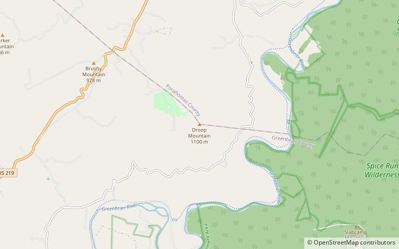
Droop Mountain, Monongahela National Forest

Map
Facts and practical information
Droop Mountain is a small mountain in the Allegheny Mountains on the border of Greenbrier and Pocahontas counties in southeastern West Virginia. It was the scene of one of West Virginia's most important battles during the American Civil War—the Battle of Droop Mountain. ()
Coordinates: 38°2'48"N, 80°15'53"W
Address
Monongahela National Forest
ContactAdd
Social media
Add
Day trips
Droop Mountain – popular in the area (distance from the attraction)
Nearby attractions include: Droop Mountain Battlefield State Park, Beartown State Park, Spice Run Wilderness, Locust Creek Covered Bridge.


