Locust Creek Covered Bridge, Monongahela National Forest

Gallery (1)
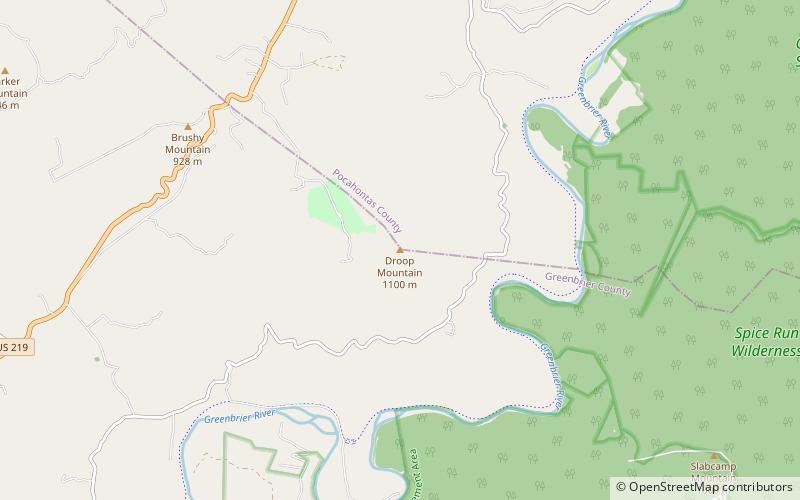
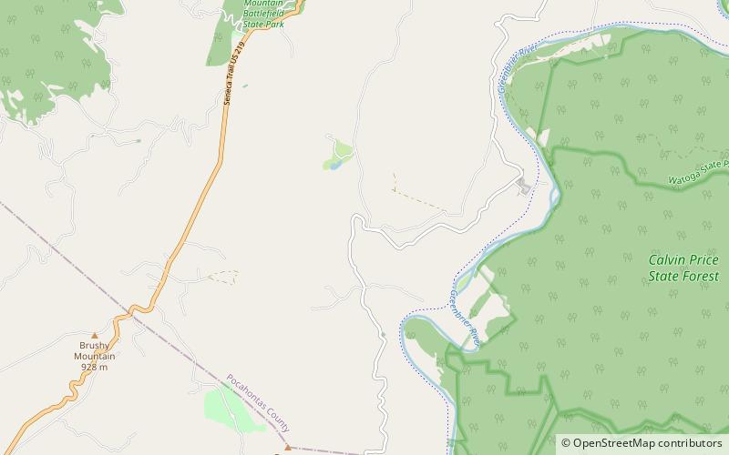
Map
Map
Facts and practical information
The Locust Creek Covered Bridge is the only remaining covered bridge in Pocahontas County, West Virginia. It is located approximately 6 miles outside Hillsboro. The bridge is now for pedestrian traffic only. ()
Completed: 1870 (156 years ago)Length: 114 ftWidth: 13 ftCoordinates: 38°4'46"N, 80°15'1"W
Address
Monongahela National Forest
ContactAdd
Social media
Add
Day trips