McKeldin Square, Baltimore
Map
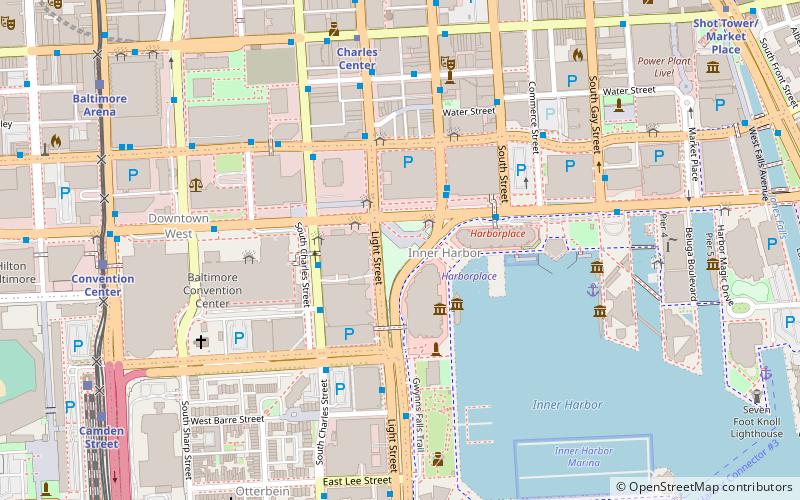
Map

Facts and practical information
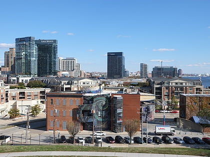
McKeldin Square is an area of Downtown Baltimore, located near the Inner Harbor at the corners of Pratt and Light Streets. ()
Coordinates: 39°17'10"N, 76°36'47"W
Address
101 East Pratt StreetCentral Baltimore (Inner Harbor)Baltimore
ContactAdd
Social media
Add
Day trips
McKeldin Square – popular in the area (distance from the attraction)
Nearby attractions include: Royal Farms Arena, Baltimore Heritage Walk, Inner Harbor, Harborplace.
Frequently Asked Questions (FAQ)
Which popular attractions are close to McKeldin Square?
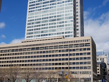
Nearby attractions include Historic Ships in Baltimore, Baltimore (1 min walk), Transamerica Tower, Baltimore (3 min walk), USS Constellation, Baltimore (3 min walk), Pratt Street, Baltimore (3 min walk).
How to get to McKeldin Square by public transport?
The nearest stations to McKeldin Square:
Bus
Metro
Light rail
Train
Bus
- Inner Harbor Eastbound • Lines: Orange (2 min walk)
- Pratt Street • Lines: Banner, Orange (2 min walk)
Metro
- Charles Center • Lines: M (7 min walk)
- Shot Tower/Market Place • Lines: M (12 min walk)
Light rail
- Convention Center • Lines: Lr (9 min walk)
- Camden Yards • Lines: Lr (10 min walk)
Train
- Baltimore Camden Station (10 min walk)


