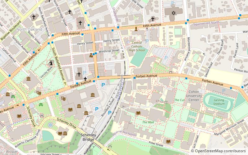
Forbes Avenue, Pittsburgh
Map

Map

Facts and practical information
Forbes Avenue is one of the longest streets in Pittsburgh, Pennsylvania, United States. It runs along an east–west route for a length of approximately 7 mi. ()
Coordinates: 40°26'40"N, 79°56'48"W
Address
East EndPittsburgh
ContactAdd
Social media
Add
Day trips
Forbes Avenue – popular in the area (distance from the attraction)
Nearby attractions include: Carnegie Museum of Natural History, Carnegie Museum of Art, Dippy, Frick Fine Arts Building.
Frequently Asked Questions (FAQ)
Which popular attractions are close to Forbes Avenue?
Nearby attractions include Junction Hollow, Pittsburgh (3 min walk), Schenley Tunnel, Pittsburgh (4 min walk), Carnegie Museum of Art, Pittsburgh (4 min walk), Carnegie International, Pittsburgh (5 min walk).
How to get to Forbes Avenue by public transport?
The nearest stations to Forbes Avenue:
Bus
Bus
- Craig St at Fifth • Lines: 54C (6 min walk)
- Fifth Avenue at Bellefield Avenue • Lines: 71B (8 min walk)


