Mount Orizaba, Santa Catalina Island
Map
Facts and practical information
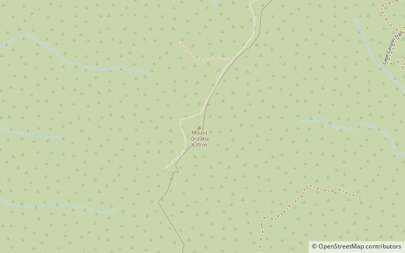
Mount Orizaba is the highest peak on Santa Catalina Island, California, United States. The summit is at 2,097 feet. On January 10, 1949, 8 inches of snow fell on the mountain. There is an FAA VORTAC installation at the summit. It is named after Pico de Orizaba, the tallest peak in Mexico. ()
Elevation: 2127 ftCoordinates: 33°22'37"N, 118°25'5"W
Address
Santa Catalina Island
ContactAdd
Social media
Add
Day trips


