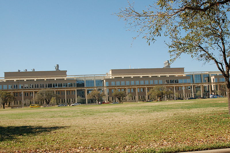
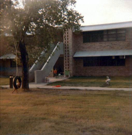
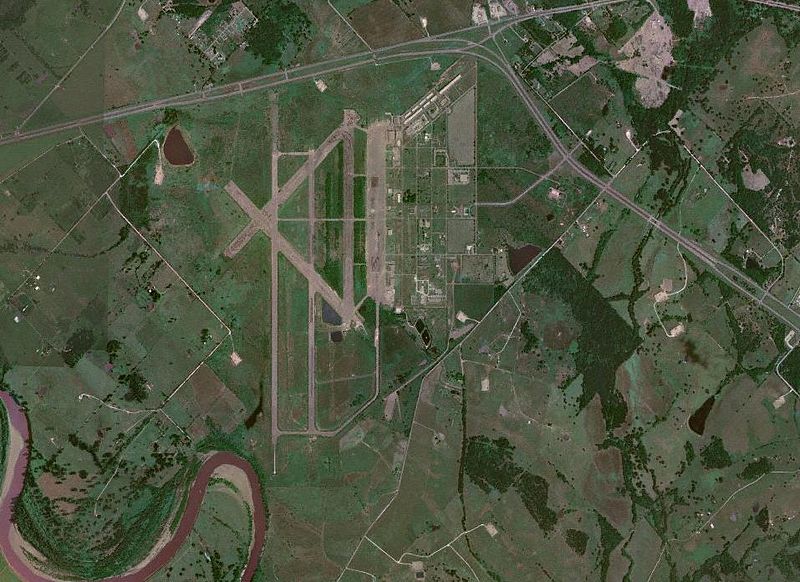
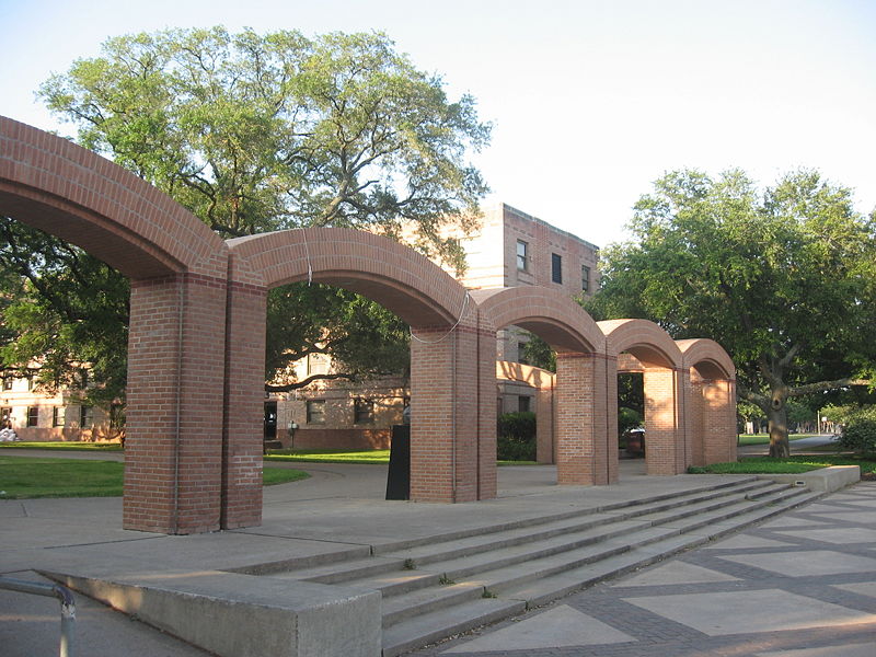
Campus of Texas A&M University, College Station
Map
Gallery
Facts and practical information
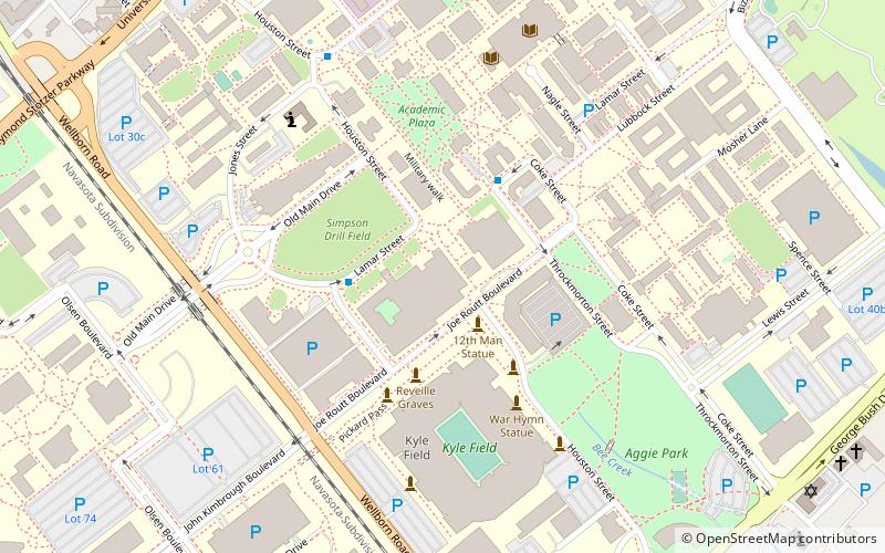
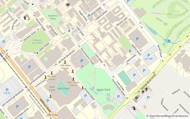
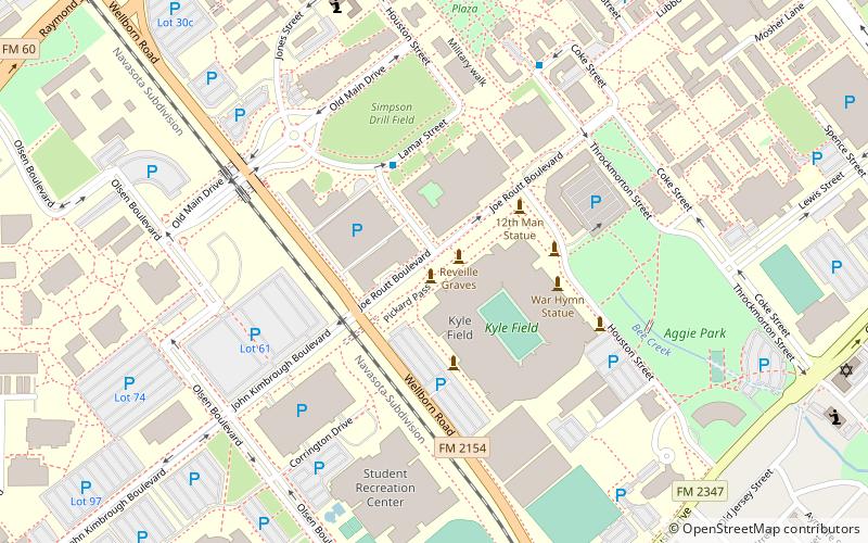
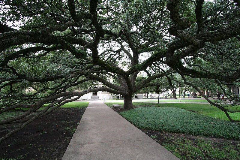
The campus of Texas A&M University, also known as Aggieland, is situated in College Station, Texas, United States. Texas A&M is centrally located within 200 miles of three of the 10 largest cities in the United States and 75% of the Texas and Louisiana populations. Aggieland's major roadway is State Highway 6, and several smaller state highways and Farm to Market Roads connect the area to larger highways such as Interstate 45. ()
Coordinates: 30°37'36"N, 96°20'28"W
Address
College Station
ContactAdd
Social media
Add
Day trips
Campus of Texas A&M University – popular in the area (distance from the attraction)
Nearby attractions include: Kyle Field, J. Wayne Stark Galleries, Dixie Chicken, Sanders Corps of Cadets Center.
Frequently Asked Questions (FAQ)
Which popular attractions are close to Campus of Texas A&M University?
Nearby attractions include Benjamin Knox Gallery & Wine Depot, College Station (16 min walk), Degallery, College Station (23 min walk).
How to get to Campus of Texas A&M University by public transport?
The nearest stations to Campus of Texas A&M University:
Bus
Bus
- Wisenbaker - East • Lines: 47 (11 min walk)
- Fish Pond • Lines: 47 (19 min walk)


