Sanders Corps of Cadets Center, College Station
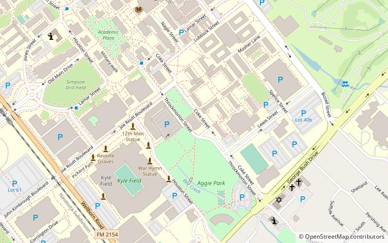
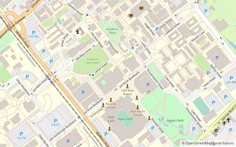
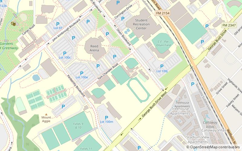
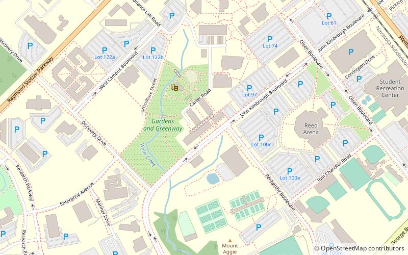
Map
Facts and practical information
The Sam Houston Sanders Corps of Cadets Center is a museum on the campus of Texas A&M University in College Station, Texas, dedicated to the school's Corps of Cadets. ()
Coordinates: 30°36'44"N, 96°20'15"W
Address
Texas AandM UniversityCollege Station
ContactAdd
Social media
Add
Getting there by public transportation
Public transportation stops near this location
- Bus
 Bus
Bus
- Calculate routeMsc 8 min walk
- Calculate routeFish Pond 12 min walk
- Calculate routeWisenbaker - East 16 min walk
- Calculate routeTransit 28 min walk
Day trips
Sanders Corps of Cadets Center – popular in the area (distance from the attraction)
Nearby attractions include: Kyle Field, Olsen Field at Blue Bell Park, J. Wayne Stark Galleries, George Bush Presidential Library.


Frequently Asked Questions (FAQ)
Which popular attractions are close to Sanders Corps of Cadets Center?
Nearby attractions include Kyle Field, College Station (5 min walk), J. Wayne Stark Galleries, College Station (6 min walk), Texas A&M University, College Station (23 min walk), Texas A&M College of Agriculture and Life Sciences, College Station (23 min walk).
How to get to Sanders Corps of Cadets Center by public transport?
The nearest stations to Sanders Corps of Cadets Center:
Bus
Bus
- Msc • Lines: 47 (8 min walk)
- Fish Pond • Lines: 47 (12 min walk)