Ausable Chasm, Adirondack Park
Map

Gallery

Facts and practical information
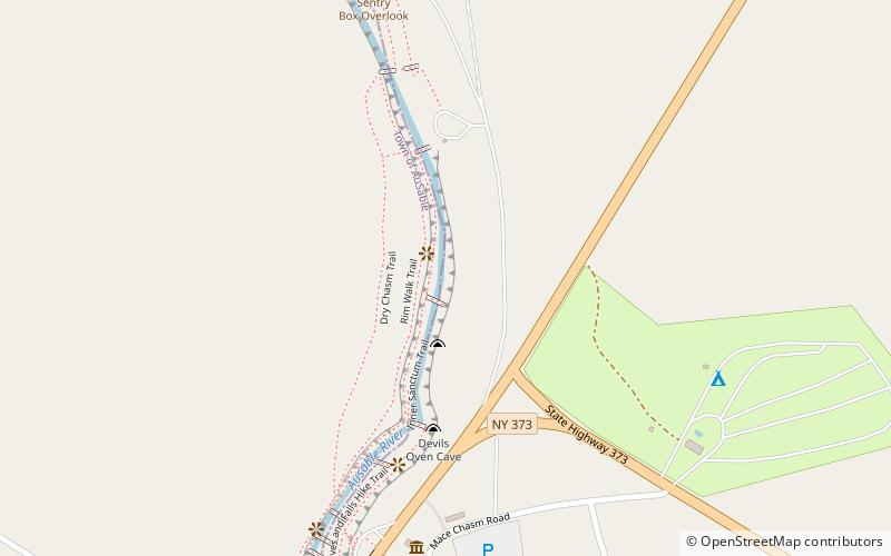
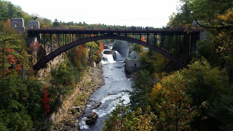
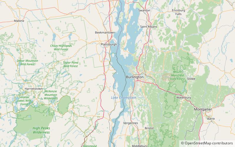
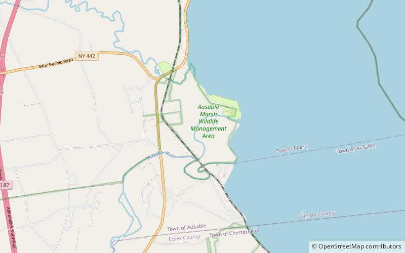
Ausable Chasm is a sandstone gorge and tourist attraction located near the hamlet of Keeseville, New York, United States. It is directly due west of Port Kent. The Ausable River runs through it and then empties into Lake Champlain. The gorge is about two miles long and is a tourist attraction in the Adirondacks region of Upstate New York. It is fed by the Rainbow Falls at its southern extreme. ()
Coordinates: 44°31'45"N, 73°27'40"W
Address
Adirondack Park
ContactAdd
Social media
Add
Day trips
Ausable Chasm – popular in the area (distance from the attraction)
Nearby attractions include: Ausable Chasm, Old State Road Bridge, Stone Arch Bridge, Schuyler Island.
Frequently Asked Questions (FAQ)
Which popular attractions are close to Ausable Chasm?
Nearby attractions include Ausable Chasm, Adirondack Park (9 min walk), Old State Road Bridge, Adirondack Park (10 min walk).


