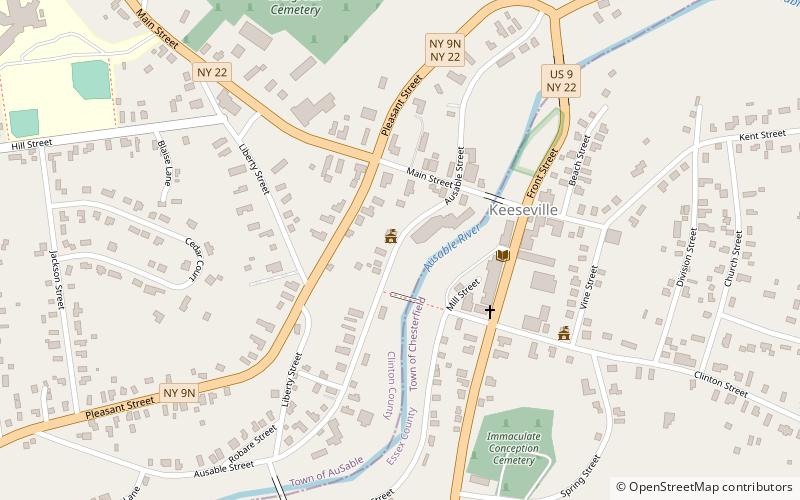
Keeseville Historic District
Map

Map

Facts and practical information
The Keeseville Historic District is a historic district listed on the National Register of Historic Places containing 142 historic structures in Keeseville, in Essex and Clinton counties in New York, in the United States. The buildings, built between 1820 and 1936, are concentrated on the streets near the Ausable River, which runs through the center of the village. ()
Coordinates: 44°30'16"N, 73°28'58"W
Location
New York
ContactAdd
Social media
Add
Day trips
Keeseville Historic District – popular in the area (distance from the attraction)
Nearby attractions include: Stone Arch Bridge, Swing Bridge, Rembrandt Hall, Double-Span Metal Pratt Truss Bridge.


