Fuller Rock Light, Providence/East Providence
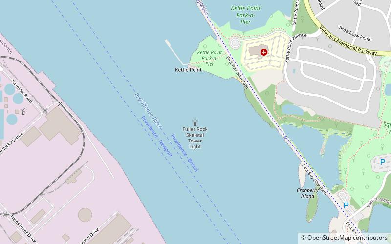
Map
Facts and practical information
The Fuller Rock Light was a lighthouse in Providence, Rhode Island. Destroyed in an explosion, it was replaced by a skeleton tower on the same foundation. ()
Coordinates: 41°47'39"N, 71°22'47"W
Address
Providence/East Providence
ContactAdd
Social media
Add
Day trips
Fuller Rock Light – popular in the area (distance from the attraction)
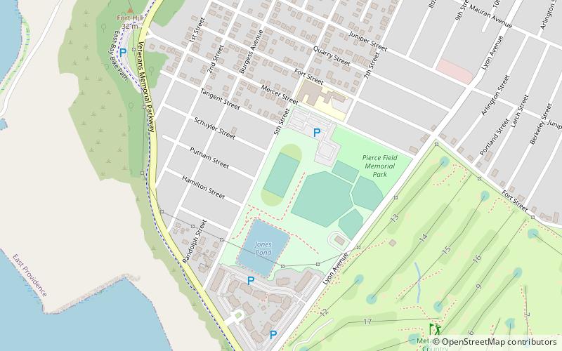
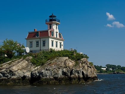
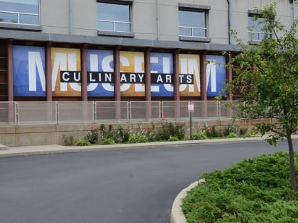
Nearby attractions include: Pierce Memorial Field, Metacomet Country Club, Pomham Rocks Light, Culinary Archives & Museum at Johnson and Wales University.
Frequently Asked Questions (FAQ)
Which popular attractions are close to Fuller Rock Light?
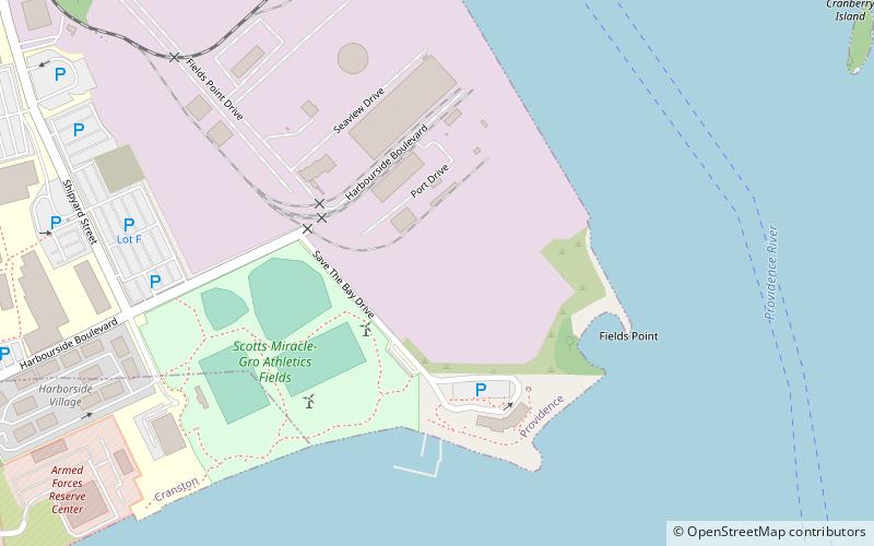
Nearby attractions include Fields Point, Providence (12 min walk), Culinary Archives & Museum at Johnson and Wales University, Cranston (22 min walk).
